Drone Operations

Our Guest Column in Point of Beginning, October

Our Guest Column in Point of Beginning, October

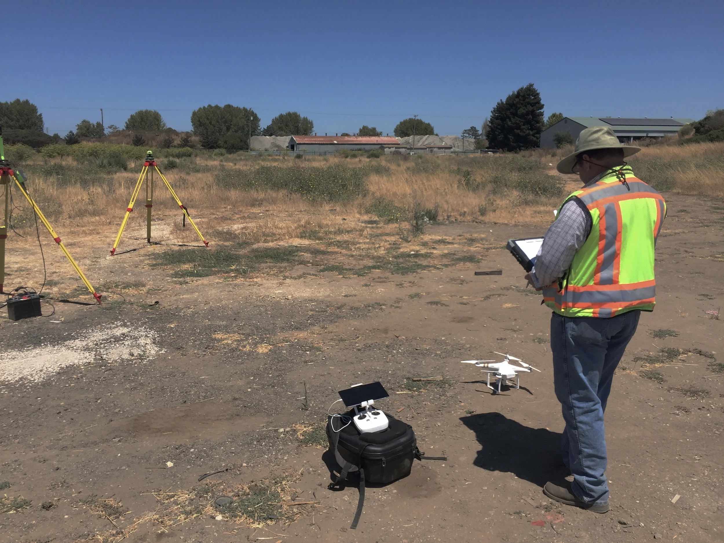
Aerotas was honored when Point of Beginning magazine asked us to follow up our article in the September issue with another in October. In October's guest column, titled "Drone Dos and Don’ts," Aerotas co-founders Logan Campbell and Daniel Katz cover just that: what does a survey drone do well, and what does it not do well? This topic is crucial to understand for surveyors considering starting survey drone operations. 

What a Surveyor Needs to Know to Start Mapping by Drone: Making Value from Drone Deliverables

What a Surveyor Needs to Know to Start Mapping by Drone: Making Value from Drone Deliverables

Daniel@aerotas.com

This third in our series of posts expanding on our article in Cal Surveyor covers how the deliverables a mapping drone produces translate into real value for surveyors. We dig into how value comes in the form of increasing crew efficiency, minimizing reliance on aerial contractors, record-collection, and reducing crew risk.

Our Guest Column in Point of Beginning, September

Our Guest Column in Point of Beginning, September

The co-founders of Aerotas were featured as Guest Columnists in this month’s Point of Beginning magazine. The focus of the article is on the critical steps in developing a survey drone program. The article covers the crucial categories of technology (hardware and software), operations, insurance, and regulation. In our experience, operations and workflow management are the most critical but over-looked component in ensuring a successful program.

Surveying by Drone from a Moving Vehicle

Surveying by Drone from a Moving Vehicle

Logan@Aerotas.com

Included in the FAA's new drone laws is the ability to operate a drone from within a moving vehicle. This dramatically expands the areas that drones can cover for mapping or inspection. We took to the deserts of Southern California to see how difficult it is to run a safe UAV operation from a moving vehicle.

How to Make Drone Operations Reliable

How to Make Drone Operations Reliable

Logan@Aerotas.com

Last week, I spent a day in the field getting a client trained on their new UAV equipment. Naturally, I thought this would be a great chance to test out a new aircraft that we recently received. Unfortunately, I made a mistake that is all too common in UAV operations: I left all of my batteries sitting in their charger back in the office. Having good operational procedures and good training is the solution to prevent this and worse mistakes. In this post we dig into why following procedures and checklists is crucial on every job.

What a Surveyor Needs to Know to Start Mapping by Drone: The Technology

What a Surveyor Needs to Know to Start Mapping by Drone: The Technology

Daniel@aerotas.com

In our article in California Surveyor Magazine, “What you need to know to determine if UAVs are right for your survey business,” we identify the key factors that land surveyors must consider when deciding whether to begin using survey drones as part of their business. In this post, we will dig in to the first topic that a surveyor needs to understand before deciding whether to start using a drone for aerial mapping: the basic stack of survey drone technology.