


Drone Data Processing for Surveyors
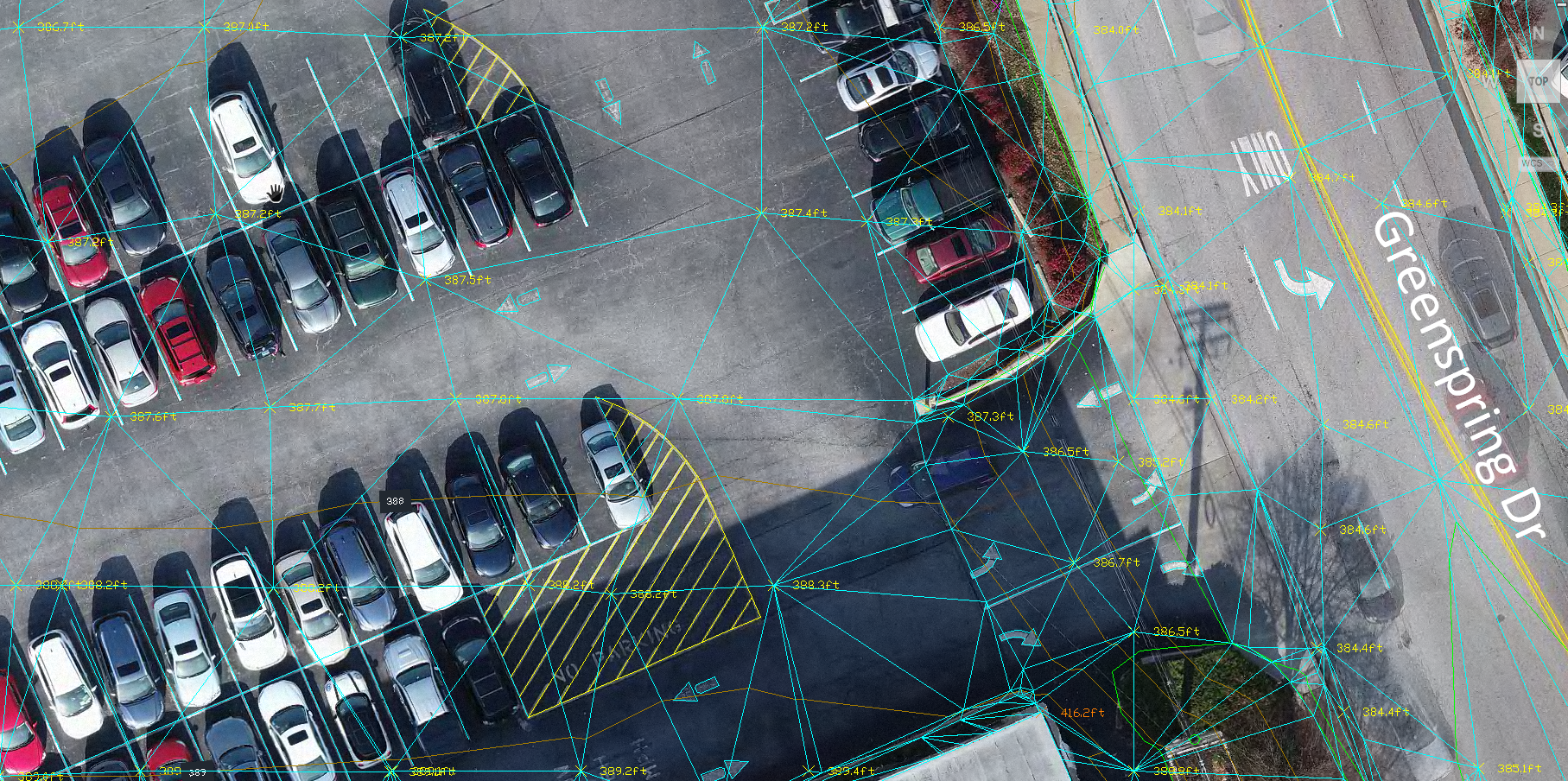
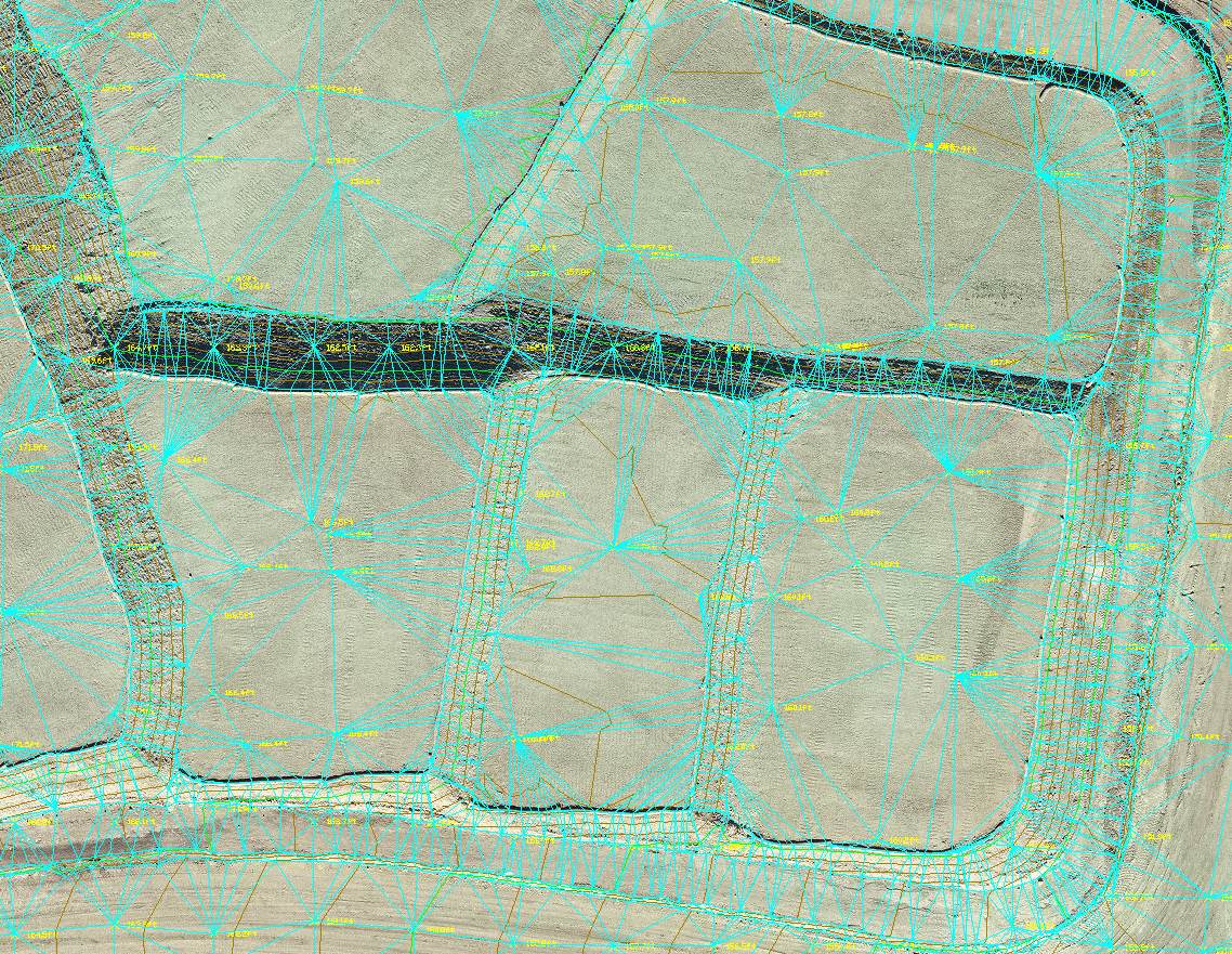
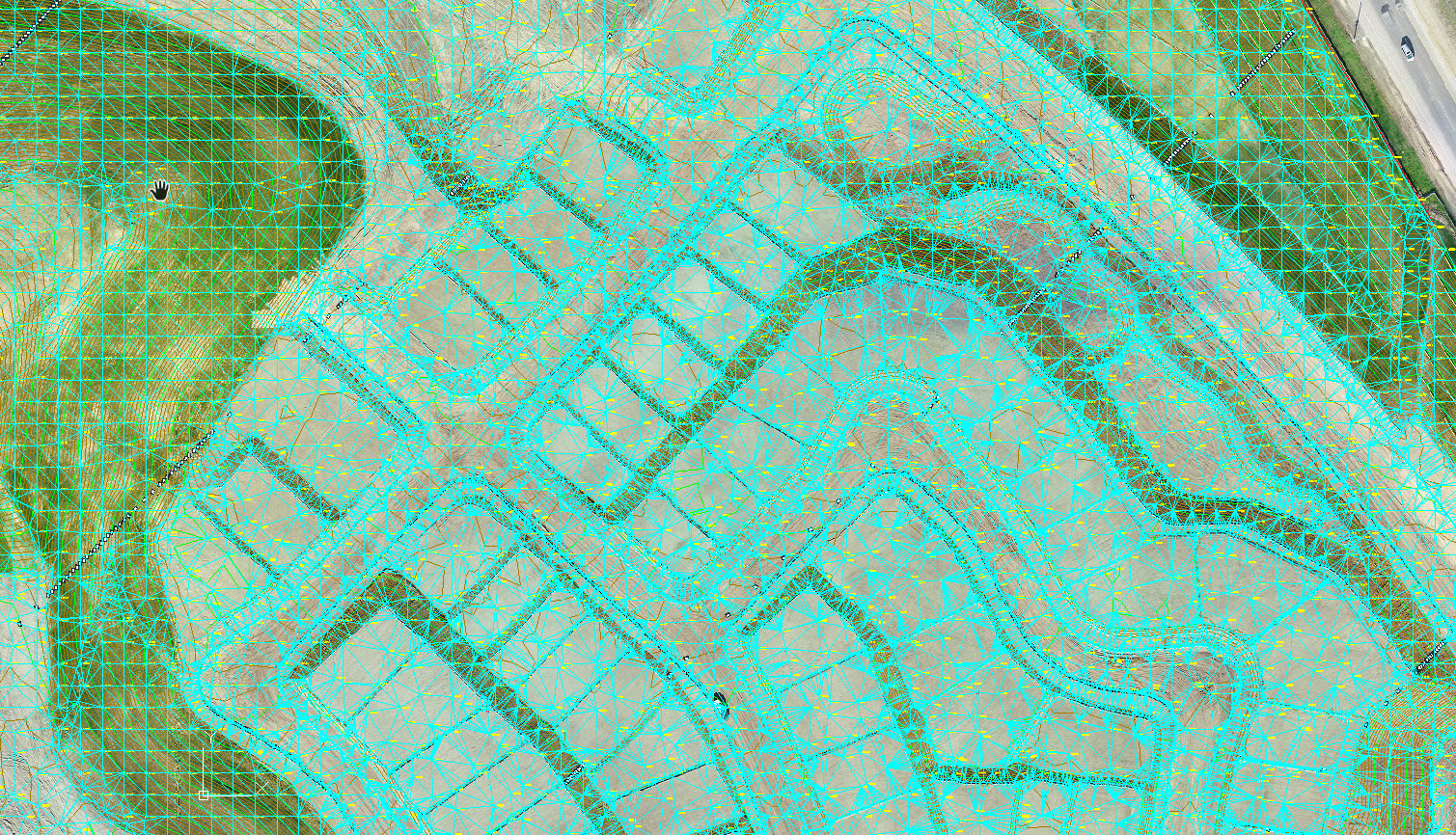
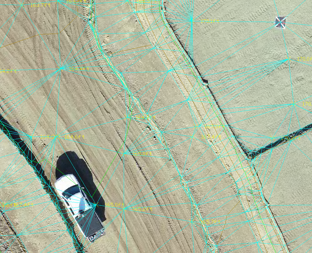
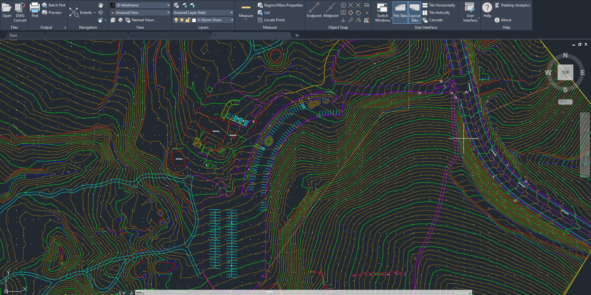
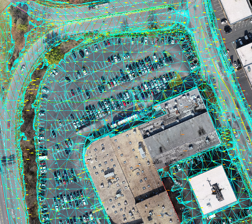
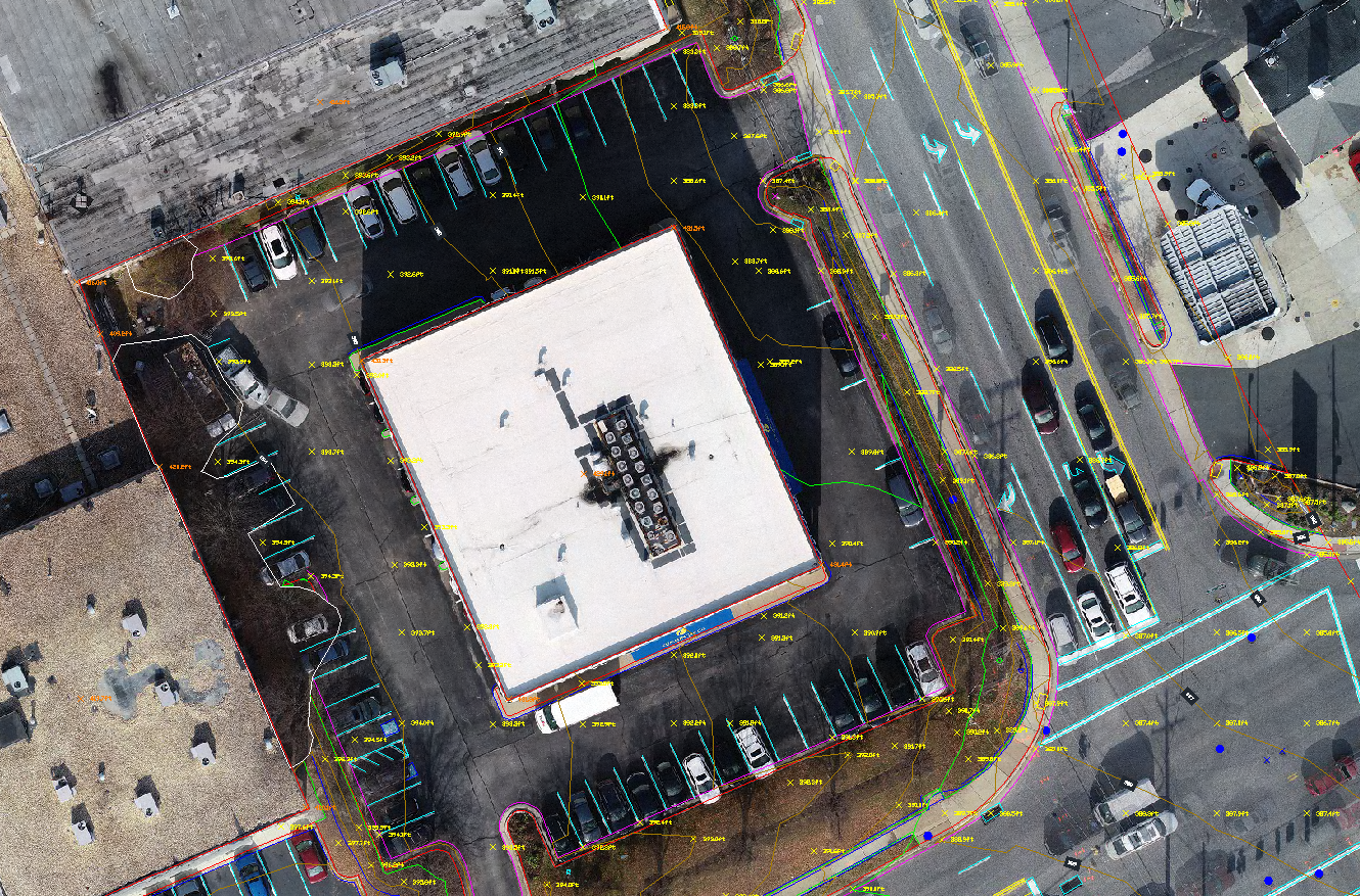
Aerotas delivers CAD files created from your drone data
Thousands of high-performing surveyors use Aerotas
to process their drone-collected data
By creating a free account, you can:
Request free quotes
Download sample projects
Track every stage of a project in real-time
Access a searchable list of all completed projects