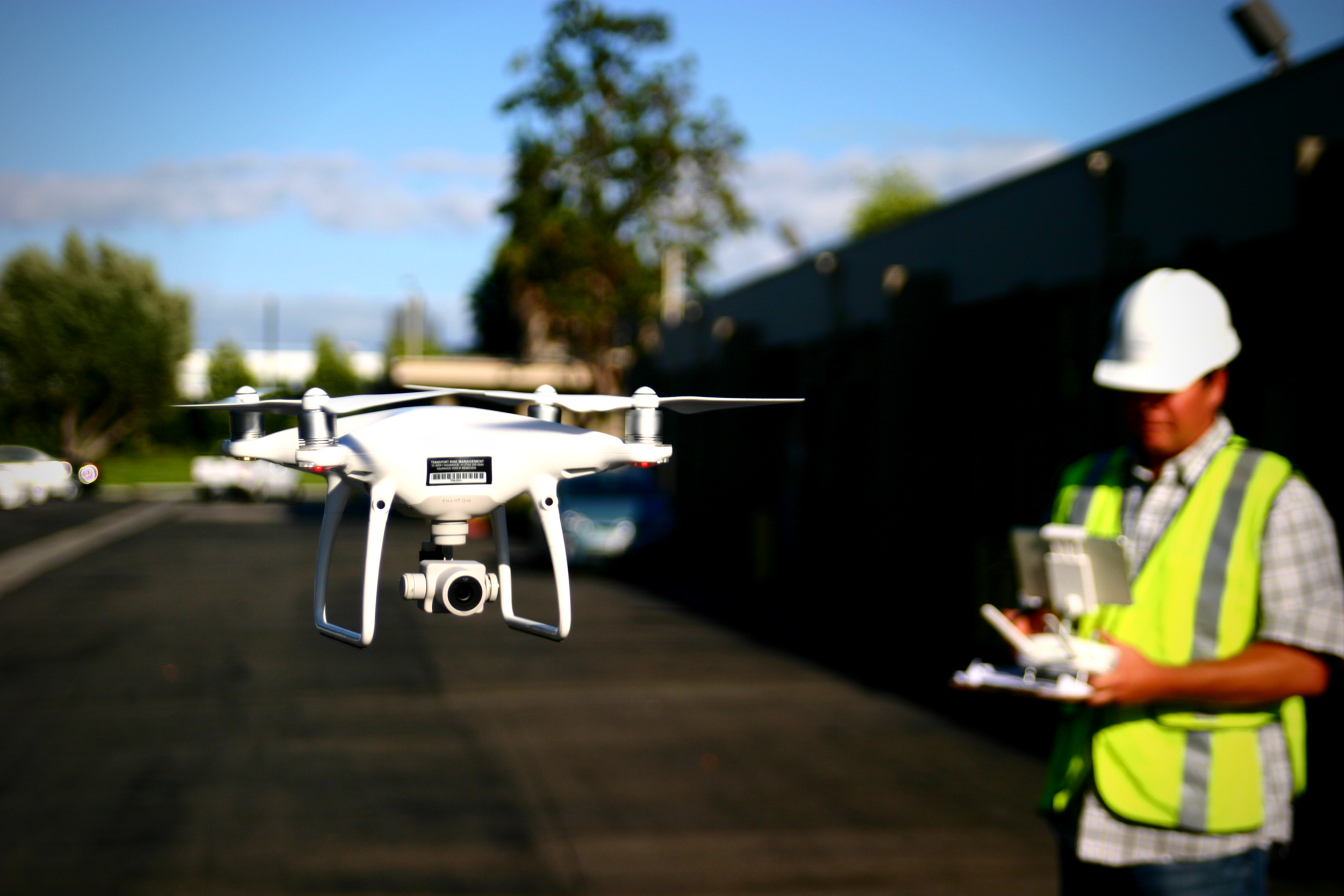
Terrain awareness, or terrain-following as some like to call it, eliminates the variance in above-ground flight height and thus eliminates the discrepancies in overlap throughout sites with high topographic relief. Consistent overlap leads to more reliable data overall, and Terrain Awareness guarantees more consistent overlap.
Aerotas Flight Operations
When you use Aerotas to process your drone data, you immediately get access to our Flight Ops team. The sole responsibility of Flight Ops is to guide your mission planning and data collection process. This will ensure that you are successfully planning missions, setting UAS-specific ground control, and getting the most accurate results possible from your drone-collected data.

![[Webinar] The State of Drone Surveying: A Strategic Briefing for 2026](https://images.squarespace-cdn.com/content/v1/54579091e4b05fc750f0d8ea/a6b75fdd-f33d-4130-a4e4-8af16b084092/ChatGPT+Image+Sep+15%2C+2025%2C+11_25_38+AM.png)


