
FAA Authorization and DJI Geofencing are Two Different Things
There are TWO barriers to flight in controlled airspace
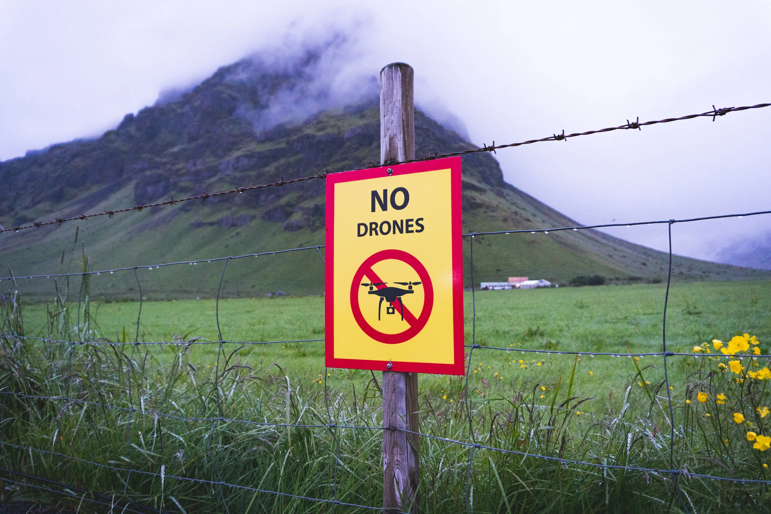
VIDEO: DJI GEO ZONES

This video explains what DJI Geofencing is and how it can impact your drone flights. How to prevent DJI geofences from derailing your missions.
So, you have your FAA Airspace Authorization, via whatever system you requested it, and you’re out on the site. Your drone takes off to fly its mission and on its way to the start point, it just stops in mid-air and hovers there. Or perhaps you don’t even get that far, you turn on your drone and get everything set up just for the app to tell you “can’t take off DJI no-fly zone.”
If you are a Part 107 pilot, you should know that you need FAA approval via manual authorization or LAANC in order to fly in controlled airspace. The FAA is the airspace authority so therefore getting permission to fly from them must mean that there are no other steps to take right? Not necessarily.
There is nothing quite as frustrating as jumping through regulatory hoops and following the rules, to be, at the last minute, thwarted by some phantom force that you didn’t even know existed in the first place. This is DJI’s Fly Safe geofencing system. While parallel to the FAA’s airspace restrictions, DJI’s geofencing is a completely different system that should be checked prior to flights within controlled airspace.
DJI’s Fly Safe system consists of various tiered zones that restrict your DJI drones’ ability to fly. These zones are designed to keep unknowing drone pilots from wandering into restricted airspace, actually mitigating a lot of safety and security risks that might otherwise cause mayhem and alarm, at airports, prisons, and other restricted areas.
DJI geofencing uses GPS and other navigational satellite signals to automatically help prevent drones from flying near sensitive locations such as airports, prisons, nuclear power plants, and high-profile events. In certain locations, a DJI drone cannot take off or fly in a geofenced area without special authorization. Drone pilots with verified DJI accounts can unlock some areas if they have legitimate reasons and necessary approvals, but the most critical areas require special action from DJI to unlock them.
The zones come in a number of categories but there are only two that you actually need to take action in order to unlock. Those are Authorization Zones and Restricted Zones.

Authorization Zones
An Authorization Zone is depicted by blue veils on the DJI geofencing maps. Flight within these veils is not allowed by default. When within one of these zones, your drone will not take off without first unlocking the zone.
These zones need to be unlocked by inputting your flight controller serial number on the DJI website to obtain the unlock license all while having your tablet, drone, and controller hooked up and on with an active wifi connection. We have a full writeup on the steps required at
aerotas.com/unlocking-dji-nofly-zones
Restricted Zones
Restricted zones are depicted by red veils and typically exist off of landing and departure ends of runways and over high-security buildings such as govt buildings, prisons, or military installations.
Restricted zones require you to submit documentation from the controlling agency to DJI in order to unlock the zone. Other than that, It really isn’t much different from unlocking an authorization zone. You can find detailed instructions on our website at
aerotas.com/unlocking-dji-nofly-zones

Best Workflow
Getting caught in DJI Geofencing can put a real kink in your workday. We find that the best way to avoid surprise geofences is to consider the following:
If you need to file an airspace authorization with the FAA, you are likely flying near a DJI geofence. You should be checking dji.com/flysafe any time you are requesting FAA authorization.
Always update the “geozone database” when prompted on your drone. DJI often changes the limits of their geofences. Updating the system will ensure your drone agrees with their current database.
For more information on FAA airspace authorizations or drone surveying in general, visit the resources section of our site aerotas.com/resources
Questions? Contact us anytime at (949) 335-4323, or info@aerotas.com