

Is the Mavic Air 2 a good drone for Land Surveying?
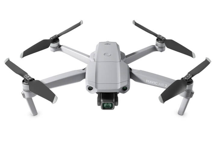
This week, DJI announced its latest drone, the Mavic Air 2. It has an impressive list of features and technical specifications, including a 48MP camera, 34-minute flight time, and improved video transmission signals, obstacle avoidance, and object tracking.
Mavic Air 2 Features
48MP Photo & 4K/60fps Video
34-Min Max Flight Time
10km 1080p Video Transmission
HDR
FocusTrack
8K Hyperlapse

At Aerotas, we only have one focus:
Is the Mavic Air 2 a good drone for Land Surveying?
The short answer is no, this is not a good drone for land surveying. It is a great drone for personal photos and videos, but the specifications, while impressive, do not add any benefit for surveyors, and the features that surveyors most care about are going to be better on other aircraft like the Phantom 4 series of drones. The drones we recommend are intended to collect data for the creation of a topographic or planimetric survey using photogrammetry. Learn more about the best drones for land surveying
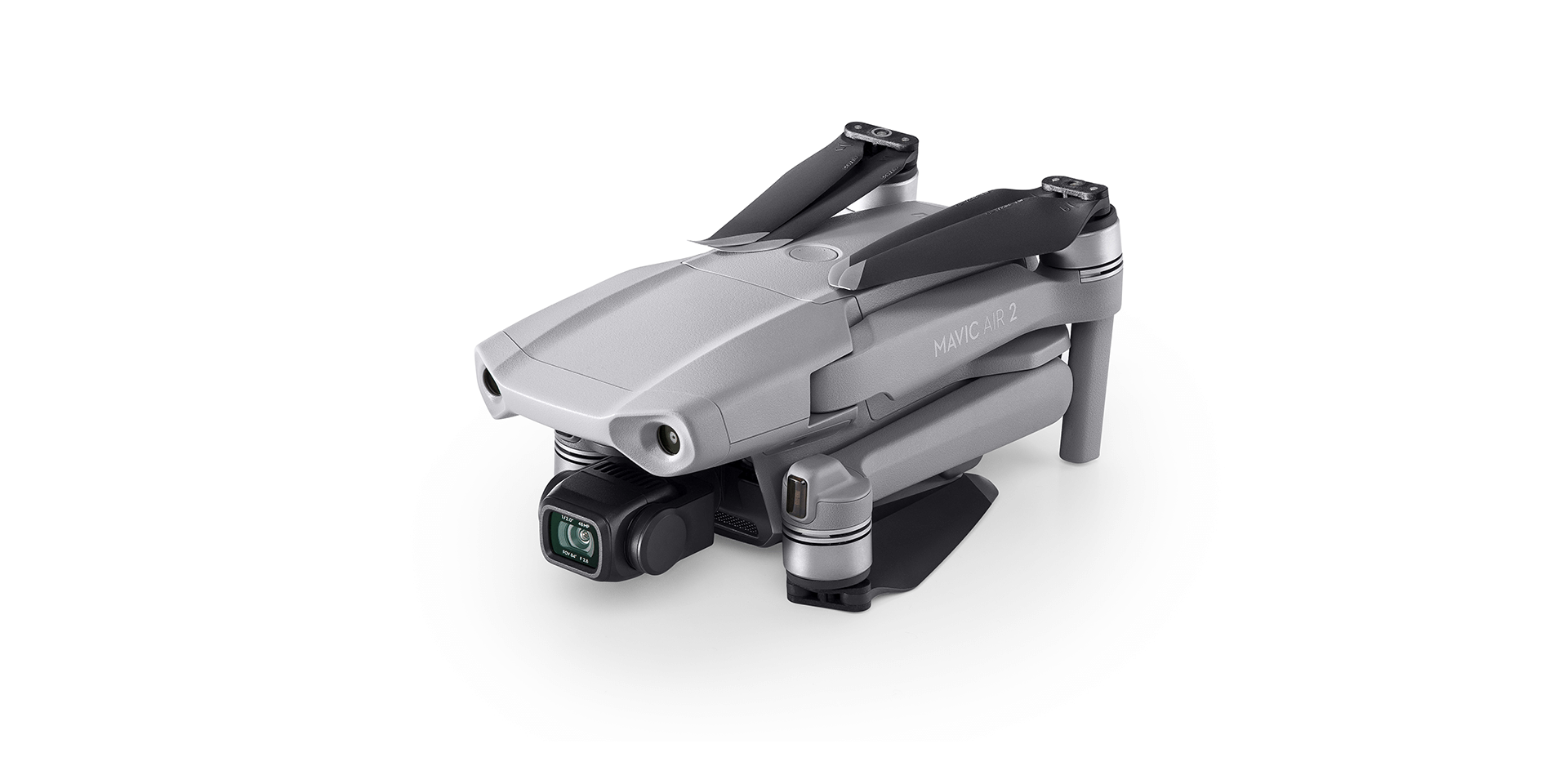
Will the 48MP camera get me better photos?
At first glance, the most impressive feature of the Mavic Air 2 is the 48MP camera, however this is a bit misleading, and definitely not an improvement over the 20MP sensors on the Phantom 4 drones. This is for a handful of reasons, some of which can get fairly technical. The first is that the 48MP number is, for all practical purposes, most comparable to a 12MP camera. It can achieve this 48MP number because it is using a “Quad Bayer” filter.
You can read the linked article for details on what a quad bayer filter is, but the most important takeaway is that it is most comparable to a 12MP camera in terms of its sharpness, which is what we would really care about with land surveying and photogrammetry. A 48MP Quad Bayer sensor cannot really offer more detail than a 12MP sensor.
Another specification to note is the size of the image sensor itself. This drone uses a ½” CMOS sensor, which has only 25% of the surface area of the sensor on larger drones such as the Phantom 4 series, which have 1” image sensors. This further reduces the overall sharpness and quality of the images, even if the raw “megapixel” count is higher.
The camera on the Mavic Air 2 is extremely impressive for its size, and would make a great personal drone. However, when it comes to surveying, the quality of the camera is simply not as good as other products on the market, and should be avoided for surveying applications where accuracy is critical.

How does the Mavic Air 2 compare to other DJI Drones?
Should you upgrade your drone to the Mavic Air 2? If you are using it for surveying purposes, the answer is no. Drones like the Phantom 4 Pro and Phantom 4 RTK will result in considerably better accuracies than the Mavic Air 2. Below, we have ranked some of the most common drones for their overall quality in high accuracy surveying applications.
DJI Product Rankings
A combination of image quality and geolocation issues make the Phantom 4 series far superior to any of the Mavics for survey purposes.
Learn more about the best drones for land surveying, including non-DJI products.
The Best Drone for Land Surveying
https://www.aerotas.com/blog/the-best-drone-for-land-surveying
Is the Mavic Air 2 a good drone for Land Surveying?
Overall, the new Mavic Air 2 is a fantastic piece of equipment, and it is well designed for its purposes. However, this is not its purpose, and it is NOT a good drone for Land Surveying.
If you would like to discuss ways to improve your drone program Aerotas is here to help.
INCREASED FLEXIBILITY | SAVE TIME | BETTER DELIVERABLES
Contact us anytime at (949) 335-4323, or support@aerotas.com