Drone Surveying

POB Column: From Drone to Drawing: the Full Workflow

POB Column: From Drone to Drawing: the Full Workflow

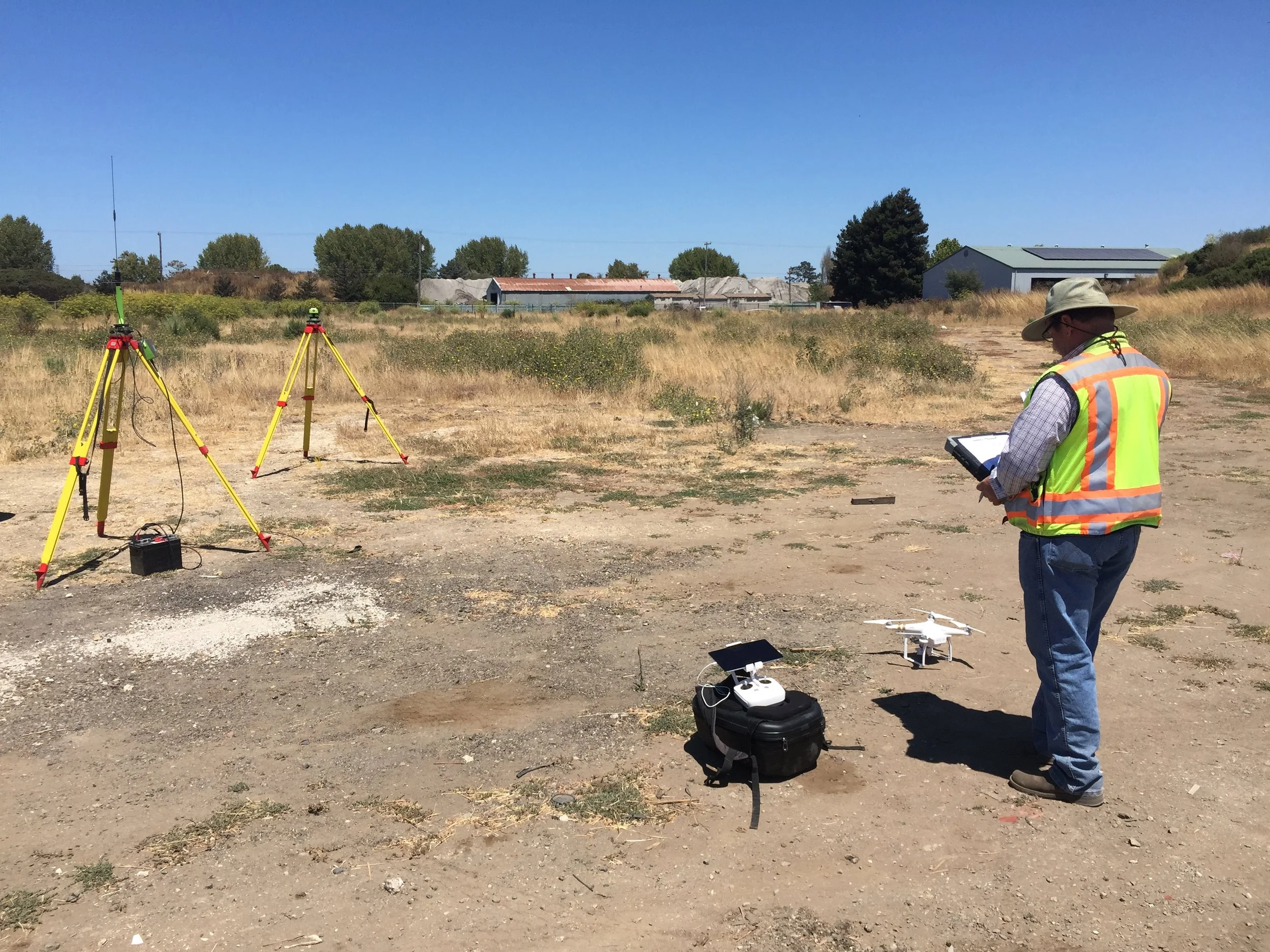
In the conversations we have had with hundreds of land surveyors, civil engineers, and other mapping professionals about starting a drone program, we often see themes arise. One of the most problematic of these is the tendency of businesses to go about the process of setting up a drone program completely backwards. In our most recent column for Point of Beginning, we discuss how to design a drone program with a focus instead on workflow.

POB Column: Can a Drone Make You More Profit?

POB Column: Can a Drone Make You More Profit?

With dozens of land surveyors, civil engineers, and other mapping professionals using our drone mapping system on a daily basis, we have a great opportunity to learn about all the ways that a drone actually enables bottom-line benefit. In a guest column with Point of Beginning in April, we break down the four primary ways we hear back from our clients that a drone is improving their operations and making them more profitable: efficiency, protection, savings, and communication.

POB Guest Column: To Succeed With Drones, Keep it Simple

If we seem to be repeating ourselves, it's because this is one of the most important things we have learned: the companies that succeed with drone surveying are the ones that start simply. In our February 2017 guest column in Point of Beginning Magazine, we detail what this approach involves and the benefits it offers.