In a recent interview with Commercial UAV News, Aerotas Co-Founder Daniel Katz discusses the crucial stakes for the Aerotas Mapping System -- and the drone industry writ large -- to solve a critical challenge in the land survey industry.

On 10/10, DJI announced the Zenmuse L2. We believe the new L2 will offer exceptional technical improvements over both the L1 and the current mid-tier sensor market. We’re excited to share what we know about the delivery timeline, and how we view the technical specs.
DJI’s long-anticipated L1 sensor is finally here, and we’ve been doing dozens of test flights and spending hundreds of hours flying and analyzing data to create a real-world, field-tested review of the newest DJI L1 sensor.
DJI states that “The P1 supports 24mm, 35mm, and 50mm lenses with industry-specific DL mounts. Only use lenses engraved with the "DJI Enterprise" logo to produce survey-grade accurate results.” But, there is more to the story.
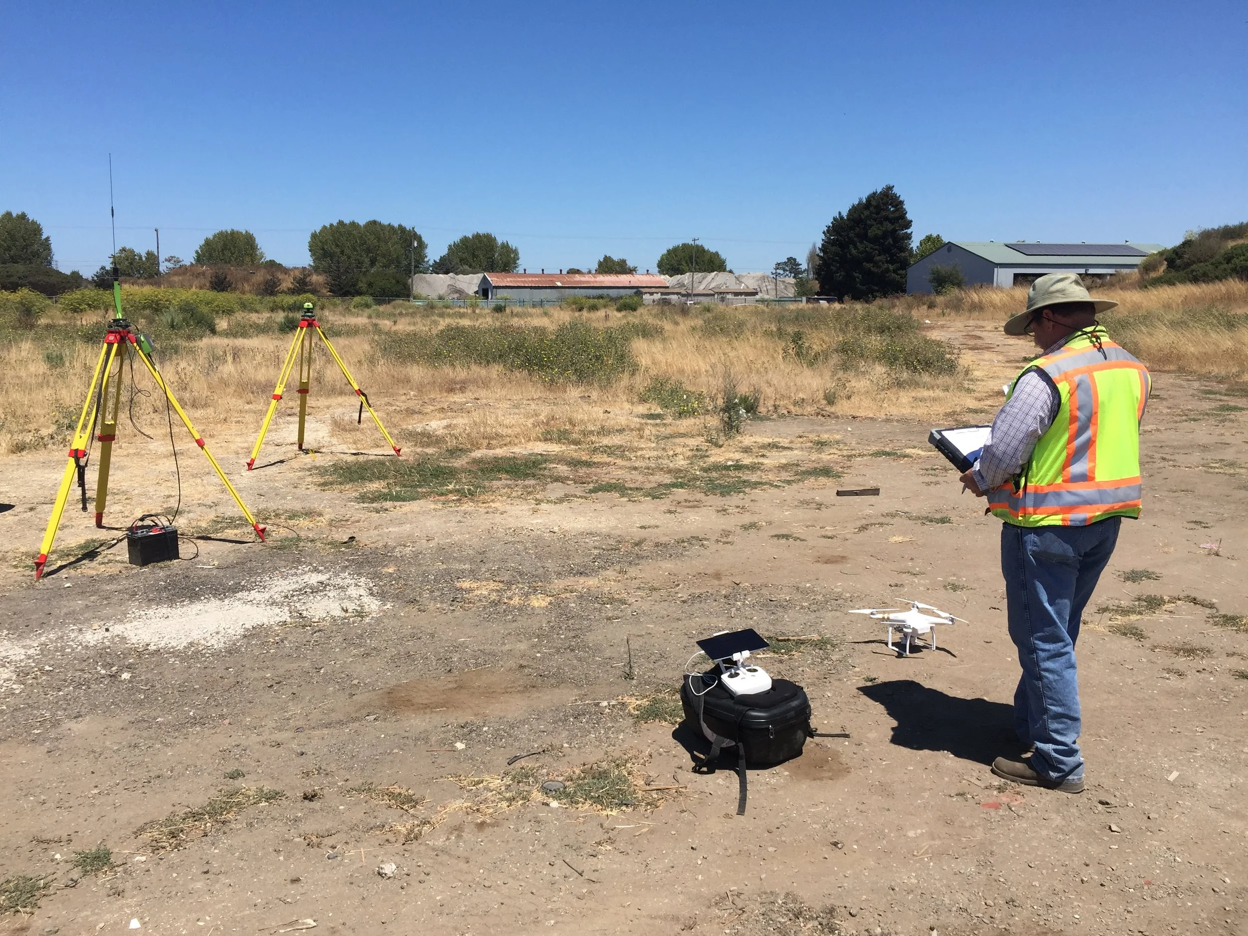
There are numerous ways to process GNSS data from the DJI M300 RTK and the Phantom 4 RTK. This article will discuss the five most common methods for processing data from DJI RTK drones and weigh their strengths and weaknesses.
Read the article to get answers to these common questions:
Can I use my Trimble, Leica, or Topcon base with the Phantom 4 RTK?
Is it possible to use my NTRIP correction service without a base station?
Will the DJI D-RTK 2 work as a standalone base or rover?
In a recent interview with Commercial UAV News, Aerotas Co-Founder Daniel Katz discusses the crucial stakes for the Aerotas Mapping System -- and the drone industry writ large -- to solve a critical challenge in the land survey industry.
In the conversations we have had with hundreds of land surveyors, civil engineers, and other mapping professionals about starting a drone program, we often see themes arise. One of the most problematic of these is the tendency of businesses to go about the process of setting up a drone program completely backwards. In our most recent column for Point of Beginning, we discuss how to design a drone program with a focus instead on workflow.
With dozens of land surveyors, civil engineers, and other mapping professionals using our drone mapping system on a daily basis, we have a great opportunity to learn about all the ways that a drone actually enables bottom-line benefit. In a guest column with Point of Beginning in April, we break down the four primary ways we hear back from our clients that a drone is improving their operations and making them more profitable: efficiency, protection, savings, and communication.
If we seem to be repeating ourselves, it's because this is one of the most important things we have learned: the companies that succeed with drone surveying are the ones that start simply. In our February 2017 guest column in Point of Beginning Magazine, we detail what this approach involves and the benefits it offers.
Aerotas was honored when Point of Beginning magazine asked us to follow up our article in the September issue with another in October. In October's guest column, titled "Drone Dos and Don’ts," Aerotas co-founders Logan Campbell and Daniel Katz cover just that: what does a survey drone do well, and what does it not do well? This topic is crucial to understand for surveyors considering starting survey drone operations.
This third in our series of posts expanding on our article in Cal Surveyor covers how the deliverables a mapping drone produces translate into real value for surveyors. We dig into how value comes in the form of increasing crew efficiency, minimizing reliance on aerial contractors, record-collection, and reducing crew risk.