POB Guest Column: Hard-Learned Lessons in Drone Photogrammetry

Hard-Learned Lessons in Drone Photogrammetry
POB Guest Column - UAVs
By: Logan Campbell
We have processed thousands of drone survey projects for our customers, and we have learned the hard way why photogrammetry is a Ph.D. level science. We have banged our heads against every wall there is, and learned some valuable lessons that we now apply to every project we complete for our customers.
As more land surveyors use drones as part of their daily work, they are finding themselves having to learn the ropes of photogrammetry. Having done data processing for thousands of drone survey projects for our customers, we have learned the hard way why photogrammetry is a Ph.D. level science. We have banged our heads against every wall that there is, and learned some essential lessons that we now apply to every project we do for our customers. We have explored which parts of the photogrammetry process can be automated and tested the fully-automated tools on the market. Ultimately we determined that having a qualified human involved in absolutely every project is essential to ensure we produce consistent, high-quality deliverables.
 The American Society of Photogrammetry and Remote Sensing (ASPRS) is the only nationwide organization that provides certification for photogrammetry. [/caption]
To make sure our team has the chops they need, we rely on the American Society of Photogrammetry and Remote Sensing (ASPRS) as the only nationwide organization that provides certification for photogrammetry. Issues are common in drone photogrammetry projects -- nearly half of the projects we process for customers have some issue. Ultimately we have found that having a qualified photogrammetrist involved in every drone survey is necessary to answer three critical, and common, questions:
Did a problem occur?
What caused the problem?
How can the problem be fixed, or avoided next time?
Did a problem occur?
The most critical and most often overlooked question that needs to be asked on every drone project is: did something go wrong? The challenge is that unless the photogrammetrist knows what to look for, it can be easy to miss that something went wrong.
The first job of the drone photogrammetrist is to know how to check whether something went wrong. This is also the most significant limitation of purely automated data processing services -- many issues that can seriously compromise the accuracy of a project would not be caught by automated QA methods. This can lead to the worst-case scenario of passing on a final survey to a client without even realizing that there is a problem in the project.
We regularly see issues that automated services would not catch. One example is insufficient distribution of aerial ground control targets. If one area of a project does not have enough control, it can wind up with much higher error than other areas. If this inconsistent error is not managed correctly in the processing, it can lead to that nightmare scenario of delivering an inaccurate final survey.
 Insufficient distribution of ground control targets caused inconsistent error. [/caption]
Another example can come from the types of cameras used for drone surveying. Because they are not highly-calibrated (and expensive) metric cameras, there is a higher frequency of issues like inexplicably blurry or unfocused individual photos or slight changes in camera calibrations between drone models or jobs. These sorts of error sources are invisible to the naked eye and automated “error reports,” but can contribute to inconsistent accuracy levels on a project.
What caused the problem?
Knowing is only half the battle. Even if a problem is detected, the reason for that problem is often not obvious. Before a problem can be fixed, or a lesson learned, it must be diagnosed. From our experience, it takes many headaches before a photogrammetrist is experienced enough to know how to diagnose even the most common problems.
One example of a hard-learned lesson is how certain features on a project site -- such as a stream bisecting a property -- can cause a project to process into separate “blocks,” with the software essentially treating it as separate, disconnected sites. This means the entire site cannot tie together with consistent accuracy at all points.
 Geographic features like streams can cause different areas to process separately in photogrammetry. [/caption]
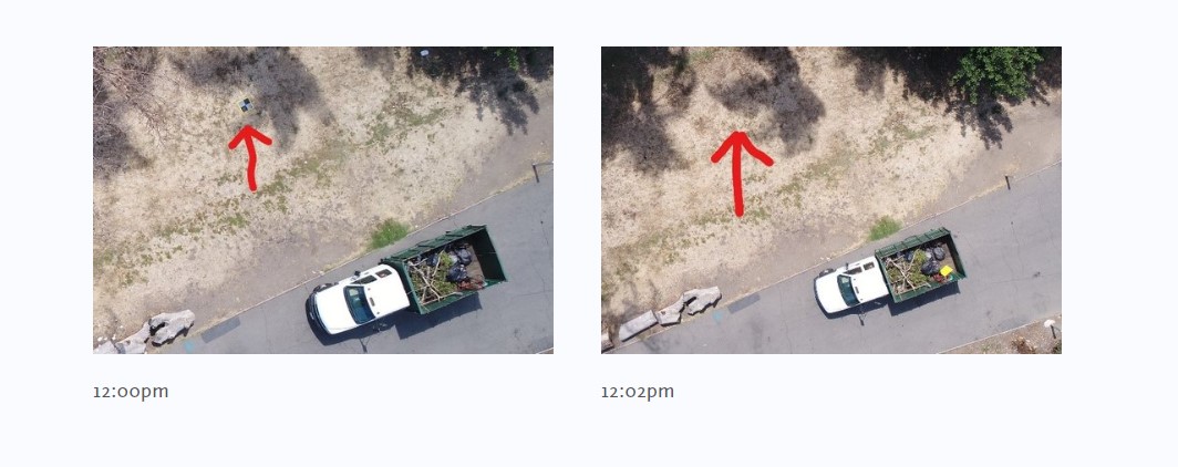
Another notorious source of headache-inducing error is an aerial ground control target moving partway through a flight. We have even had a target removed by an over-eager public works crew who assumed it was a piece of trash. More often, however, a passerby slightly shifts a target’s location, introducing an immediate tenth or two of error into the model. Also common are errors in the locating of the target due to GPS errors or malfunctioning equipment -- our team even recently identified that a client’s brand new rover was malfunctioning.
How can the problem be fixed, or avoided next time?
Identifying and diagnosing problems is critical, but ultimately they need to be fixed when they happen and avoided whenever possible. On many of the projects our team processes, they need to take manual steps to resolve or mitigate issues. In the example of a project processing into multiple separate “blocks” due to a stream bisecting the property, an experienced photogrammetrist can often manually tie the blocks together using photos and data that the automated software had overlooked or discarded.
Unfortunately, there will always be some issues that can’t be fixed in data processing. In these cases, an experienced technician can help direct the surveyor for exactly what supplemental information needs to be collected by re-flying or on the ground. Often it is not as black-or-white as needing to throw away an entire project -- a trained eye can identify what data can be salvaged. Often the photogrammetrist can pull specific spot-elevations or locations from the drone data, and potentially even use this to create an interpolated surface.
 Experienced photogrammetrists help correct problems when they happen, and prevent them from happening the next time. [/caption]
The ultimate goal with a drone program is to be able to avoid as many of these pitfalls as possible, to get the maximum efficiency benefits of the drone. This happens when the loop between field data collection and office data processing is closed, basically connecting the surveyor operating the drone in the field with the photogrammetrist in the office. In our team, this is the role of the Flight Operations group, who proactively guide our clients on how to sidestep pitfalls through the drone data collection process. This way by the time the drone data reaches our photogrammetrists’ desks, it is of the best quality possible, and we can create the highest accuracy deliverable possible.
For surveyors to benefit from drone technology, they need to know that the surveys they’re creating from the drone data are as accurate and consistent as possible. Often the most challenging part of ensuring this is to identify that a problem may have occurred -- something that an automated data processing service or novice technician would easily miss. Once a problem has been identified, locating the source, resolving or mitigating it, and then coaching the surveyor doing the drone data collection all require considerable expertise. In our experience, the only way to ensure the level of accuracy and consistency surveyors need is to have an ASPRS Certified Mapping Scientist or Technologist involved, hands-on, managing every project.