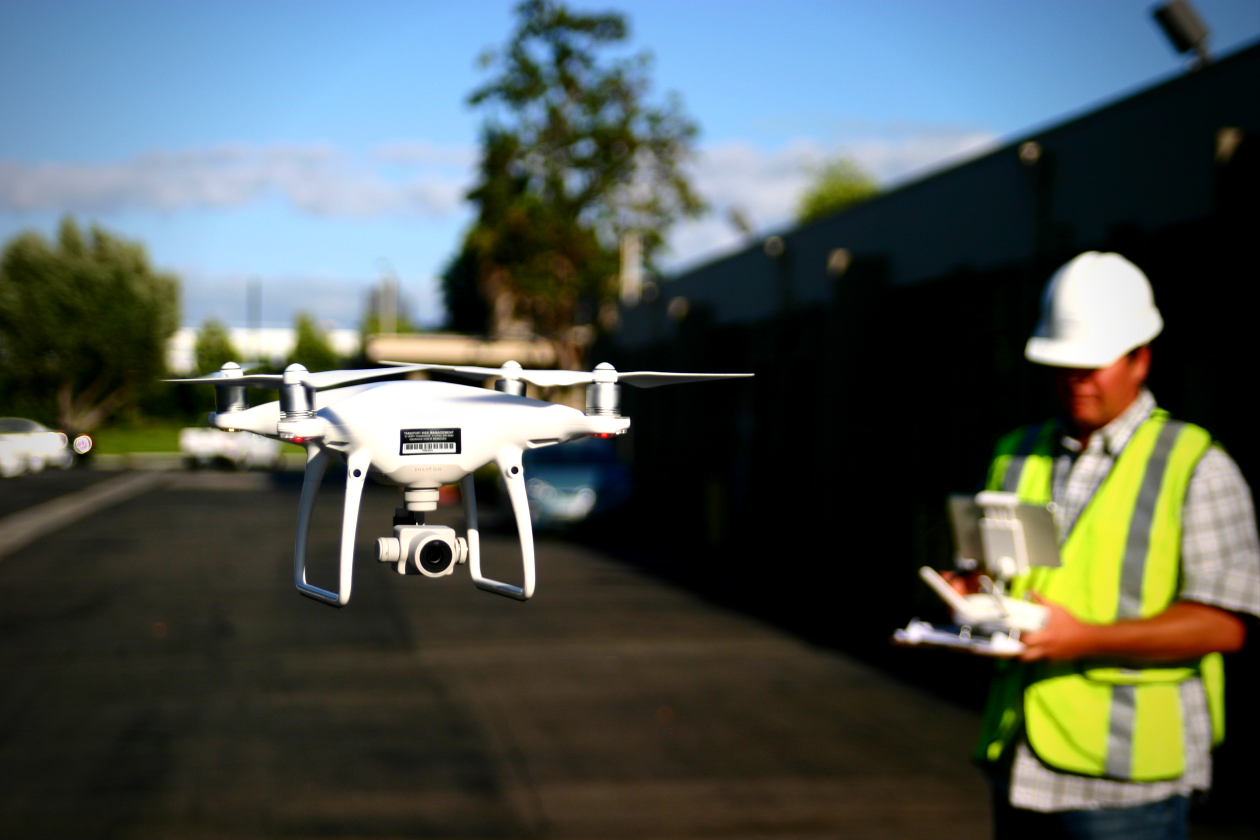
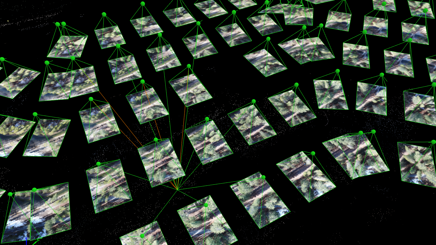
ISPLS hosted a webinar on Fri, Apr 3, 2020, where Aerotas CEO, Logan Campbell, presented advanced data processing workflows for creating surveys with drone data. Enclosed please find links to download the checklists, guides, and standards referenced in his presentation.
Why You Should Use Terrain Awareness
Terrain awareness, or terrain-following as some like to call it, eliminates the variance in above-ground flight height and thus eliminates the discrepancies in overlap throughout sites with high topographic relief. Consistent overlap leads to more reliable data overall, and Terrain Awareness guarantees more consistent overlap.
Common Pitfalls of Point Clouds in Drone Surveying - and How to Avoid Them
POB Guest Column: Drone Questions from Survey Conferences
Survey conferences from all over the country tend to cluster in the winter months. So, Aerotas bundles up and heads out into the cold to share lessons learned from processing thousands of drone survey projects. While the number of surveyors who use drones continues to grow, there are still a handful of questions that keep cropping up at almost every survey conference. In this article, we will answer the most common questions about drone surveying from this year’s conference season.
Announcing New Online Training Courses!
The New Aerotas Drone Surveying Checklist
The newest version of our checklist is smaller, laminated, and designed to always stay with your drone kit. The checklist will be used along side a paper companion flight log that is now longer so that it can record information about more of your flights. The old checklist was a single piece of paper that combined both the checklist and the flight log; you used a single checklist for each flight. Now, one checklist can be used across multiple flights, and the flight log can hold more information.
OSLS Convention 2019 | Aerotas Drone Surveying Presentation
Trey Swann from Aerotas presented at The Oklahoma Society of Land Surveyors (OSLS) Convention on Friday, March 1st, 2019. Trey covered the complete field workflow and the complete office workflow for drone surveying. Use this page to download the content from that presentation.
Presentation Slides - What it Takes to Collect Survey Grade Data by Drone
ASPRS Positional Accuracy Standards for Digital Geospatial Data
Aerotas Flight Operations Checklist
PPK Correction File
Aerotas Flight Operations
When you use Aerotas to process your drone data, you immediately get access to our Flight Ops team. The sole responsibility of Flight Ops is to guide your mission planning and data collection process. This will ensure that you are successfully planning missions, setting UAS-specific ground control, and getting the most accurate results possible from your drone-collected data.
Guest Webinar for Indiana Society of Professional Land Surveyors
POB Column: It Matters Who Processes Your Drone Data
When the American Society of Photogrammetry and Remote Sensing (ASPRS) launched their Certified Mapping Scientist-UAS certification, Aerotas Founder Logan Campbell was among the first people to sit for the test. The intensive experience of studying, preparing, and taking the strenuous exam highlighted how challenging a verifiable understanding of photogrammetry is. However, the real-world experiences that Logan and the Aerotas team have with processing drone data for surveyors reveal the importance of this understanding in the real world.


