
POB Column: It Matters Who Processes Your Drone Data
When the American Society of Photogrammetry and Remote Sensing (ASPRS) launched their Certified Mapping Scientist-UAS certification, Aerotas Founder Logan Campbell was among the first people to sit for the test. In fact, he was exactly the second person, receiving certification number 002. The intensive experience of studying, preparing, and taking the strenuous exam highlighted how challenging a verifiable understanding of photogrammetry is. However, the real-world experiences that Logan and the Aerotas team have with processing drone data for surveyors reveal the importance of this understanding in the real world.
In a recent article for Point of Beginning Magazine, Logan discusses key takeaways from the experience of preparing for and taking the test, as well as proving context for why this certification matters. With the rapid proliferation of drones among surveyors and mapping professionals has also come the corollary expansion of users attempting photogrammetry — many without the depth of understanding required to do it consistently and accurately. Logan’s experience learning photogrammetry in the real world and then becoming only the second Certified Mapping Scientist-UAS reveals important lessons for surveyors using drones about why it matters who does their photogrammetry.
Read an excerpt of the article below, or head to the POB website to read the entire article about ASPRS certification for drone photogrammetry. If you would like to use Aerrotas’ industry-leading photogrammetry services, contact us today through our homepage.
The Why Behind the Learning
Being able to prove an understanding of the science and practice behind drone surveying will likely soon become a requirement of most firms, and the ASPRS certification will be the best way for someone to prove it.
Unfortunately, we have seen first-hand why certification should be required. We have had to step in after an un-certified drone operator has produced bad data. Often, the issues begin in the field, with improper mission planning and improper use of aerial ground control targets.
We have seen “maps” produced with just a single flight-line of oblique photos and two or three ground control points on a project where the client expects an accurate topographic survey. As one might expect, the final data did not pass any of our accuracy tests or QA/QC checks and it had to be thrown out. In circumstances like this, the only solution is to re-fly the project with correct methodology and re-process the data.
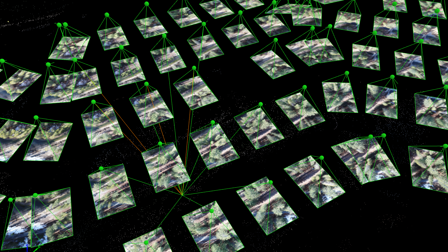
However, often the main problems are in how the data is processed and the accuracy is verified. We have seen pilots collect data properly, but not have the deep understanding of photogrammetry required to preempt the many subtle sources of error.
One notable example came from a linear mission project that was flown over a 2,000-foot stretch of road. The surveyor set five aerial ground control targets in a straight line down the center of the road. In processing the data, all the automated checks that the photogrammetry software produces appeared fine, so the surveyor delivered the data.
What they did not catch was that, when ground control is in a direct line, the resulting model can twist around the line and lead to extreme inaccuracies – which the software’s internal checks are incapable of detecting. Catching this, and knowing how to prevent it in the future, takes the expertise that the ASPRS certification confers.