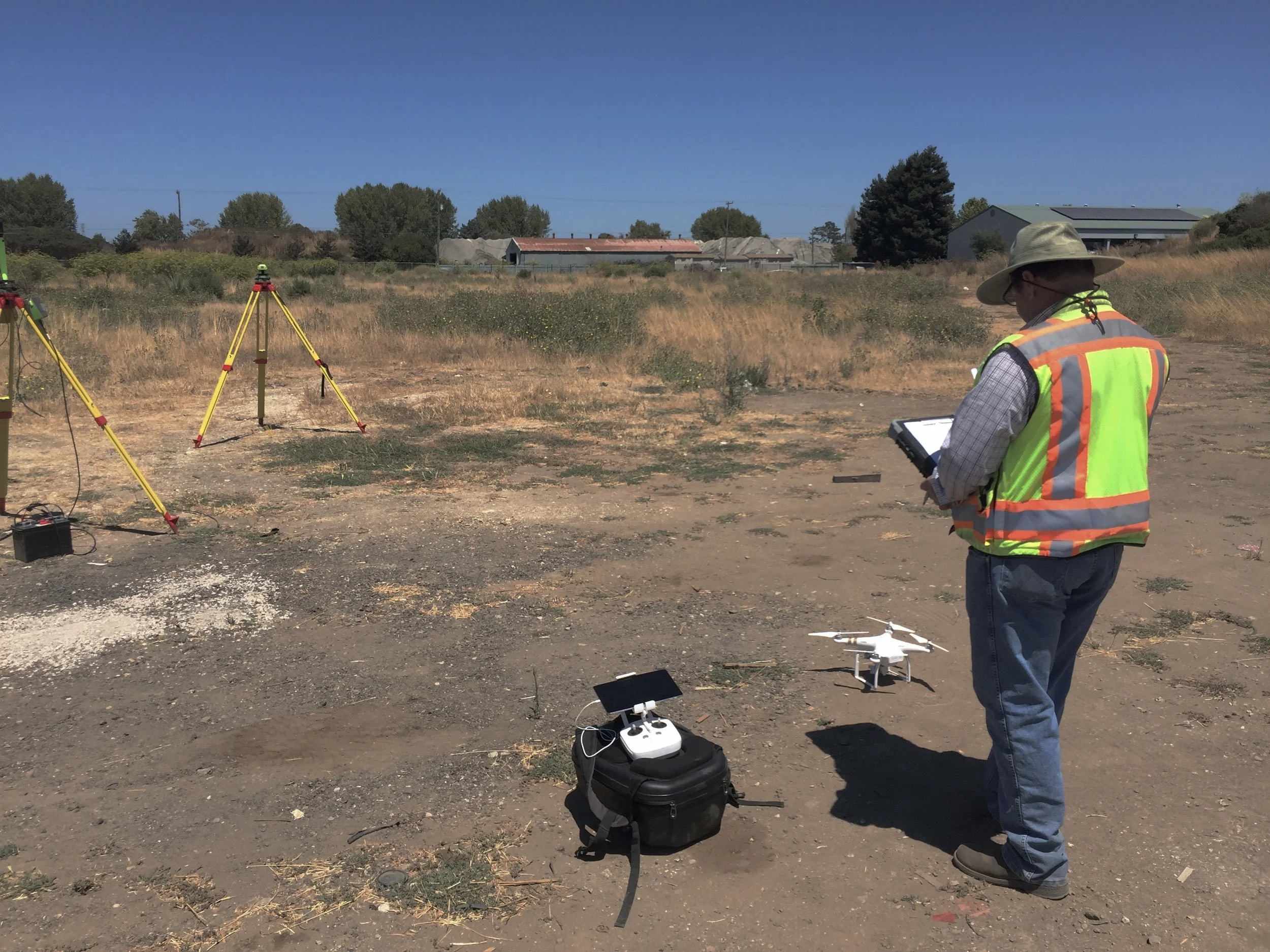
Last week, the California Land Surveyors Association invited Aerotas co-founder Daniel Katz to present a webinar to their members on best practices in drone surveying. With the experience from training and equipping several hundred surveyors nationwide to get best-in-class accuracy and ROI from drone technology, and completing thousands of drone photogrammetry and linework drafting projects, the Aerotas team has learned a great deal about what it takes to benefit from drone technology.
Guest Article in California Surveyor: FAA Drone Laws for Surveyors
On the heels of the implementation of the FAA's new commercial drone laws, called Part 107, the team at California Surveyor Magazine once again asked Aerotas to weigh in on what surveyors need to know.
What a Surveyor Needs to Know to Start Mapping by Drone: Making Value from Drone Deliverables
This third in our series of posts expanding on our article in Cal Surveyor covers how the deliverables a mapping drone produces translate into real value for surveyors. We dig into how value comes in the form of increasing crew efficiency, minimizing reliance on aerial contractors, record-collection, and reducing crew risk.
What a Surveyor Needs to Know to Start Mapping by Drone: The Deliverables
The second in a series of posts expanding on our article in Cal Surveyor. As we discussed in the article, mapping drones can produce three primary deliverables: orthophotos, 3D models, and high-resolution photo and video. In order to use an aerial mapping drone profitably, a surveyor has to understand each of these deliverables and how a surveyor drone can be used to create them. In this post, we dig in to each of these surveyor drone deliverables.
What a Surveyor Needs to Know to Start Mapping by Drone: The Technology
In our article in California Surveyor Magazine, “What you need to know to determine if UAVs are right for your survey business,” we identify the key factors that land surveyors must consider when deciding whether to begin using survey drones as part of their business. In this post, we will dig in to the first topic that a surveyor needs to understand before deciding whether to start using a drone for aerial mapping: the basic stack of survey drone technology.


