drone photogrammetry

POB Guest Column: Hard-Learned Lessons in Drone Photogrammetry

POB Guest Column: Hard-Learned Lessons in Drone Photogrammetry

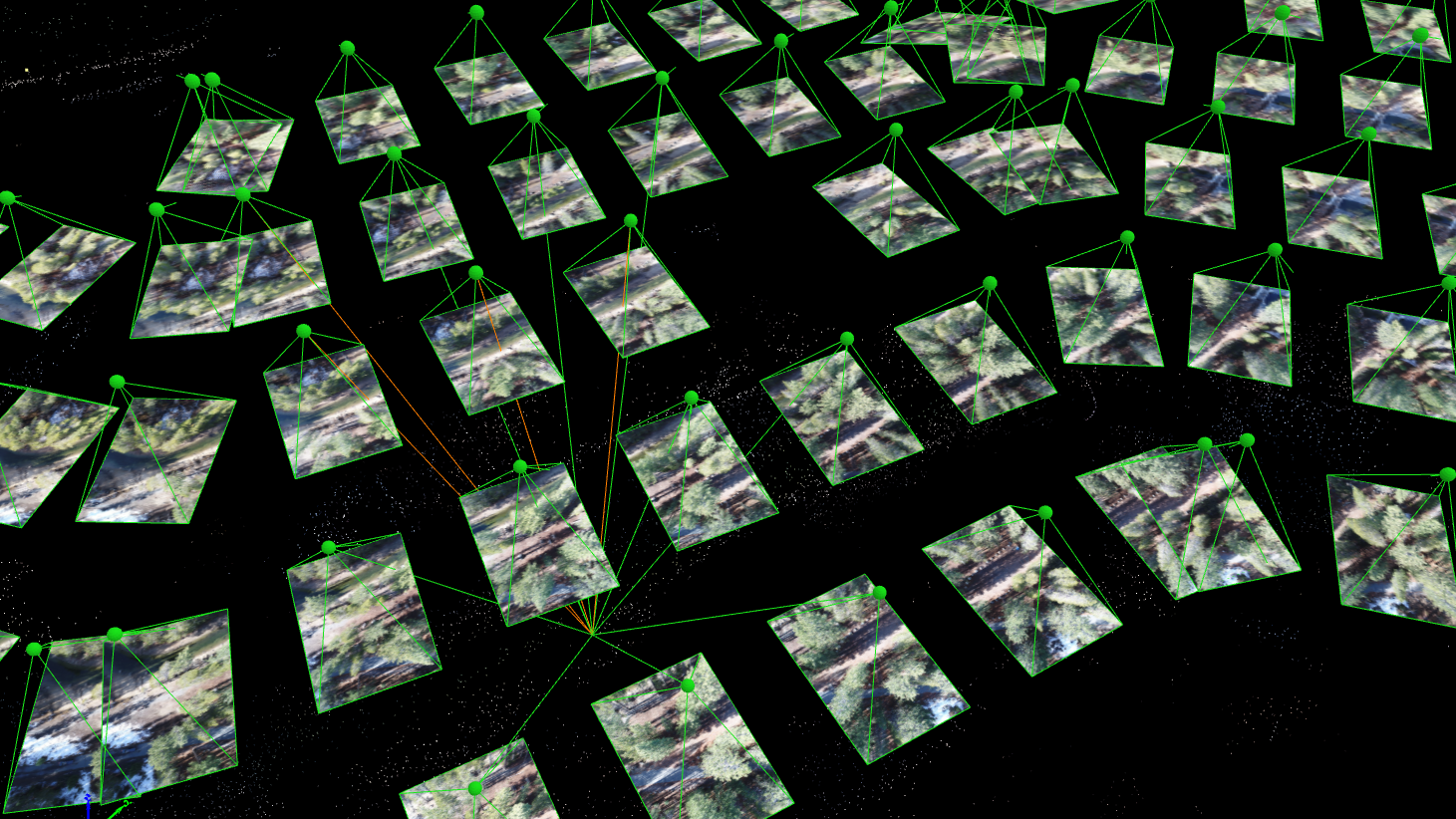
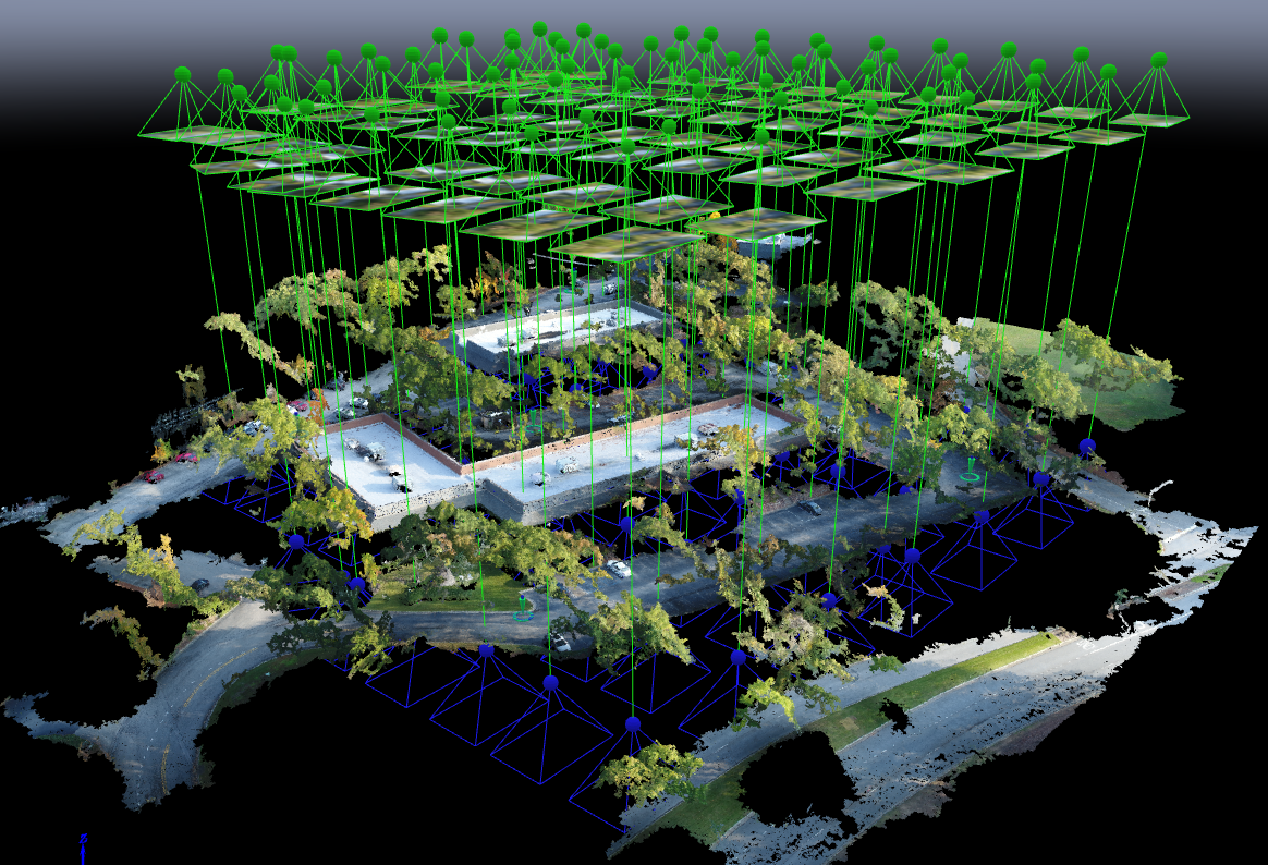
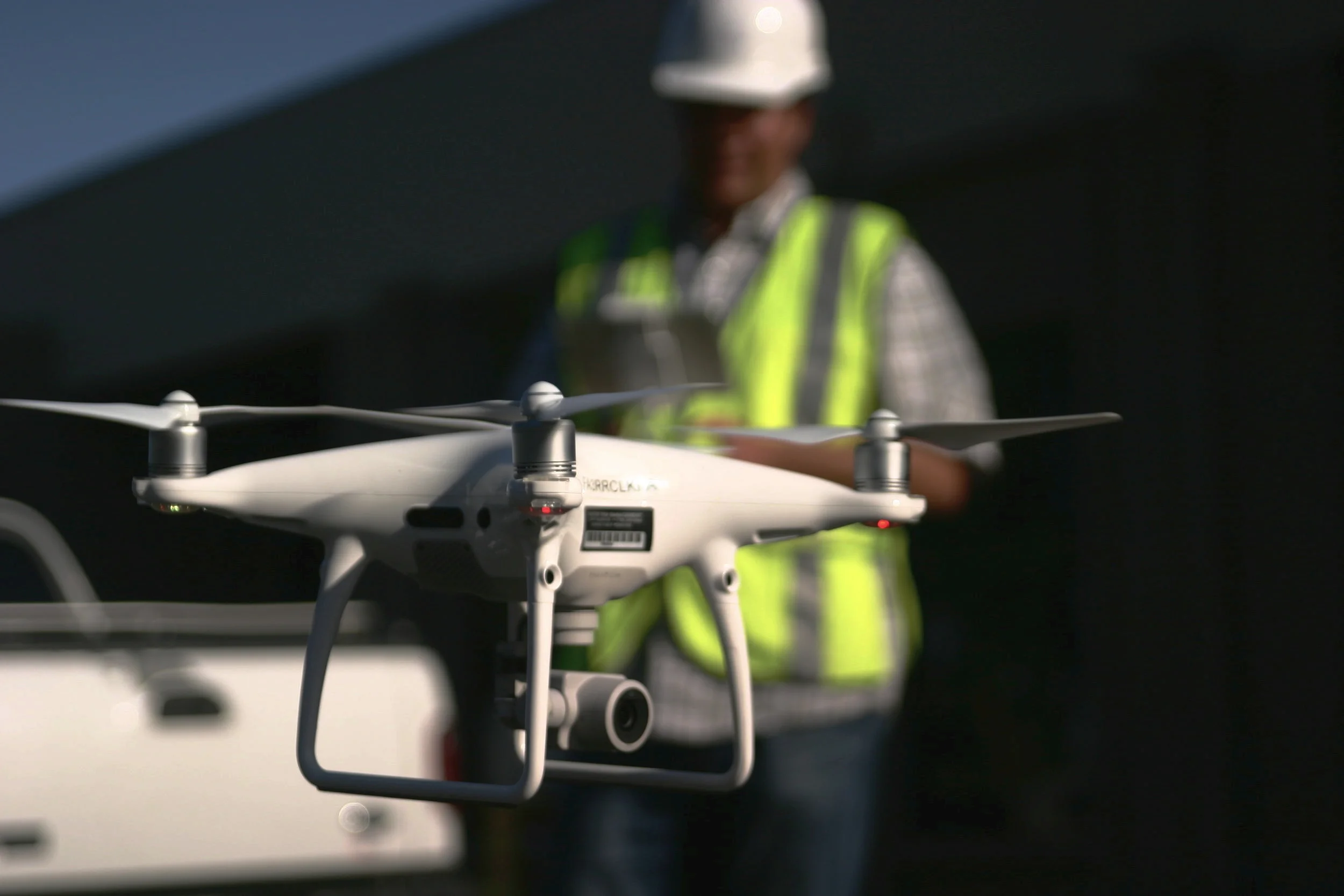
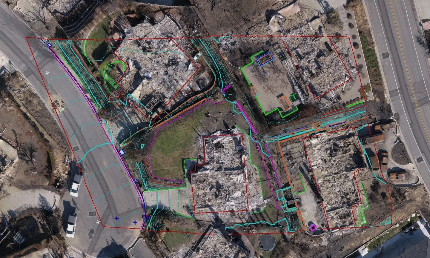
We have processed thousands of drone survey projects for our customers, and we have learned the hard way why photogrammetry is a Ph.D. level science. We have banged our heads against every wall there is, and learned some valuable lessons that we now apply to every project we complete for our customers.

POB Column: It Matters Who Processes Your Drone Data

POB Column: It Matters Who Processes Your Drone Data

When the American Society of Photogrammetry and Remote Sensing (ASPRS) launched their Certified Mapping Scientist-UAS certification, Aerotas Founder Logan Campbell was among the first people to sit for the test. The intensive experience of studying, preparing, and taking the strenuous exam highlighted how challenging a verifiable understanding of photogrammetry is. However, the real-world experiences that Logan and the Aerotas team have with processing drone data for surveyors reveal the importance of this understanding in the real world.

POB Column: Selecting a UAV Georeferencing Option

POB Column: Selecting a UAV Georeferencing Option

With Aerotas' position as the preeminent provider of drone solutions for land surveyors, we constantly field questions from surveyors about various components of drone technology.  This is the third in a three-part series of articles in Point of Beginning magazine, summarizing our current analysis on key components of drone survey technology. This article focuses on the georeferencing options we most commonly get questions about -- particularly high-accuracy RTK, PPK, or Direct Georeferencing systems.

POB Column: Drone Sensors for Surveyors

POB Column: Drone Sensors for Surveyors

With Aerotas' position as the preeminent provider of drone solutions for land surveyors, we constantly field questions from surveyors about various components of drone technology.  This is the second in a 3-part series of articles in Point of Beginning magazine, summarizing our current analysis on key components of drone survey technology. This article focuses on the sensor options we most commonly get questions about -- particularly LiDAR.

POB Column: Drone Airframes for Surveyors

POB Column: Drone Airframes for Surveyors

Point of Beginning magazine asked Aerotas co-founders Daniel Katz and Logan Campbell to analyze the various components of drone technology that go into an effective drone survey program. They evaluated three key technologies across three articles: drone airframes, sensors, and georeferencing options. In each article they take an independent and analytical approach to evaluate which drone technology option is best for land surveyors. The first article focuses on drone airframes.

Commercial UAV News: Surveyors and Other Professional Drone Operators Should be Focused on Accuracy and Reliability

Commercial UAV News: Surveyors and Other Professional Drone Operators Should be Focused on Accuracy and Reliability

In a guest article on Commercial UAV News, Aerotas co-founder Daniel Katz discusses some of the misconceptions Aerotas sees surveyors frequently bring to their drone program decision-making. Many surveyors often that they need to choose a drone billed as "professional grade," but What matters is accuracy and ROI.

POB Column: Does Your UAV Survey Program Measure Up?

POB Column: Does Your UAV Survey Program Measure Up?

In the most recent issue of Point of Beginning magazine, Aerotas co-founders Logan Campbell and Daniel Katz lay out the basic expectations for a surveyor using a drone: what they should be getting, and what it should cost the in money, time, and staff. Ultimately what this translates to is getting the best possible cost/benefit ratio, so that the return on investment for the drone program happens as soon as possible