![[Webinar] The State of Drone Surveying: A Strategic Briefing for 2026](https://images.squarespace-cdn.com/content/v1/54579091e4b05fc750f0d8ea/a6b75fdd-f33d-4130-a4e4-8af16b084092/ChatGPT+Image+Sep+15%2C+2025%2C+11_25_38+AM.png)


The Indiana Society of Professional Land Surveyors hosted Aerotas Co-Founder Daniel Katz for a guest webinar. In the webinar, Daniel covers a few key lessons for land surveyors using drones.

In one hour, we’ll show you exactly what changed in 2025 that will impact your revenue, liability, and competitiveness in 2026, and what top firms are already doing about it.
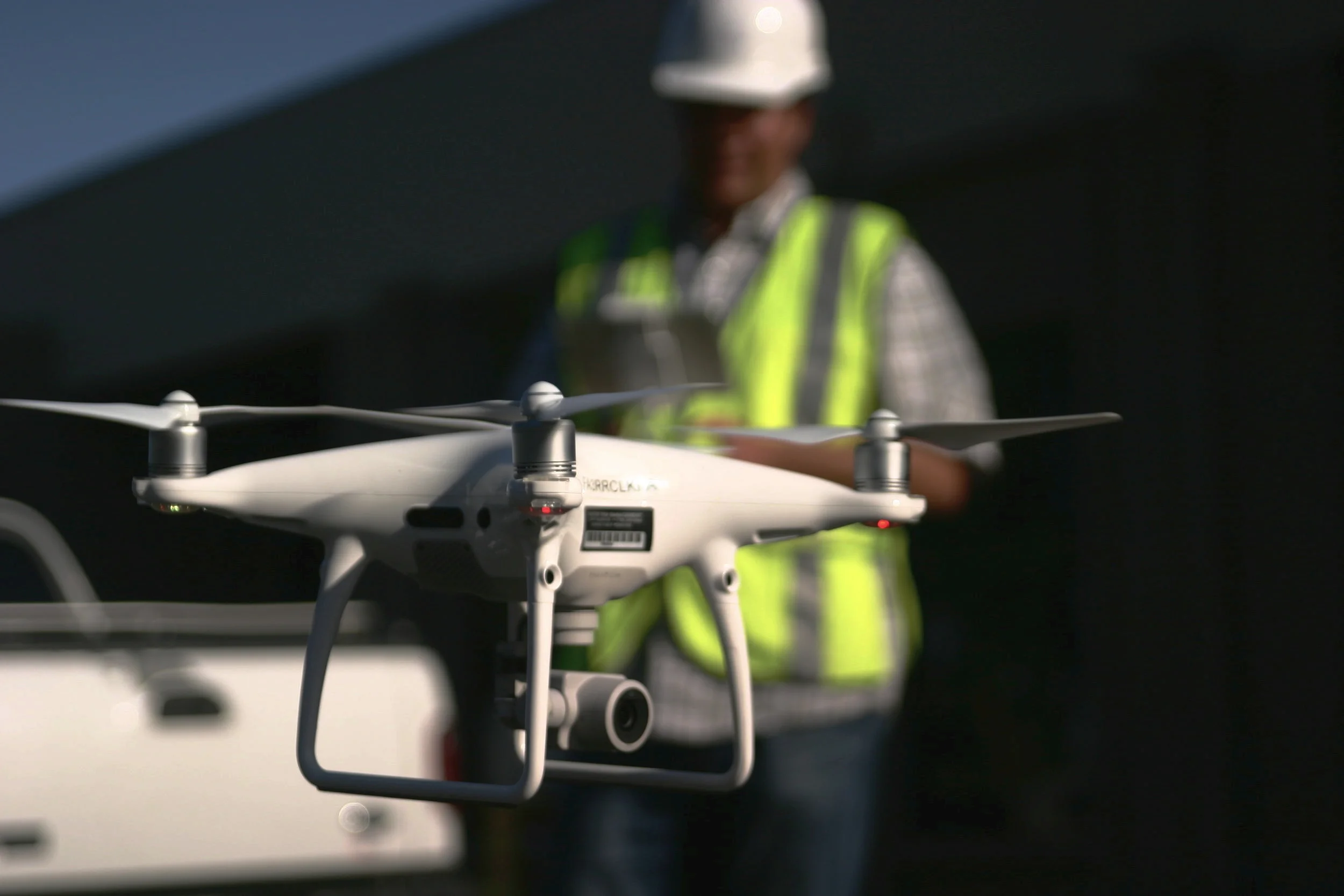
On November 4th, 2025, DJI announced the latest upgrade in their aerial lidar sensors, the Zenmuse L3. But will it be a good sensor for surveyors? And should US surveyors even consider investing in a DJI product given all of the regulatory uncertainties in the world right now? Let’s dive into the details to find out.
Here is the uncomfortable truth: no true peer competitor exists today. Dollar for dollar, DJI remains the best overall platform for most commercial applications. There is no close second. This post explains why, how to think about the current regulatory environment, and what that means for surveyors, civil engineers, or really anyone who cares about safety, turnaround time, and profit.
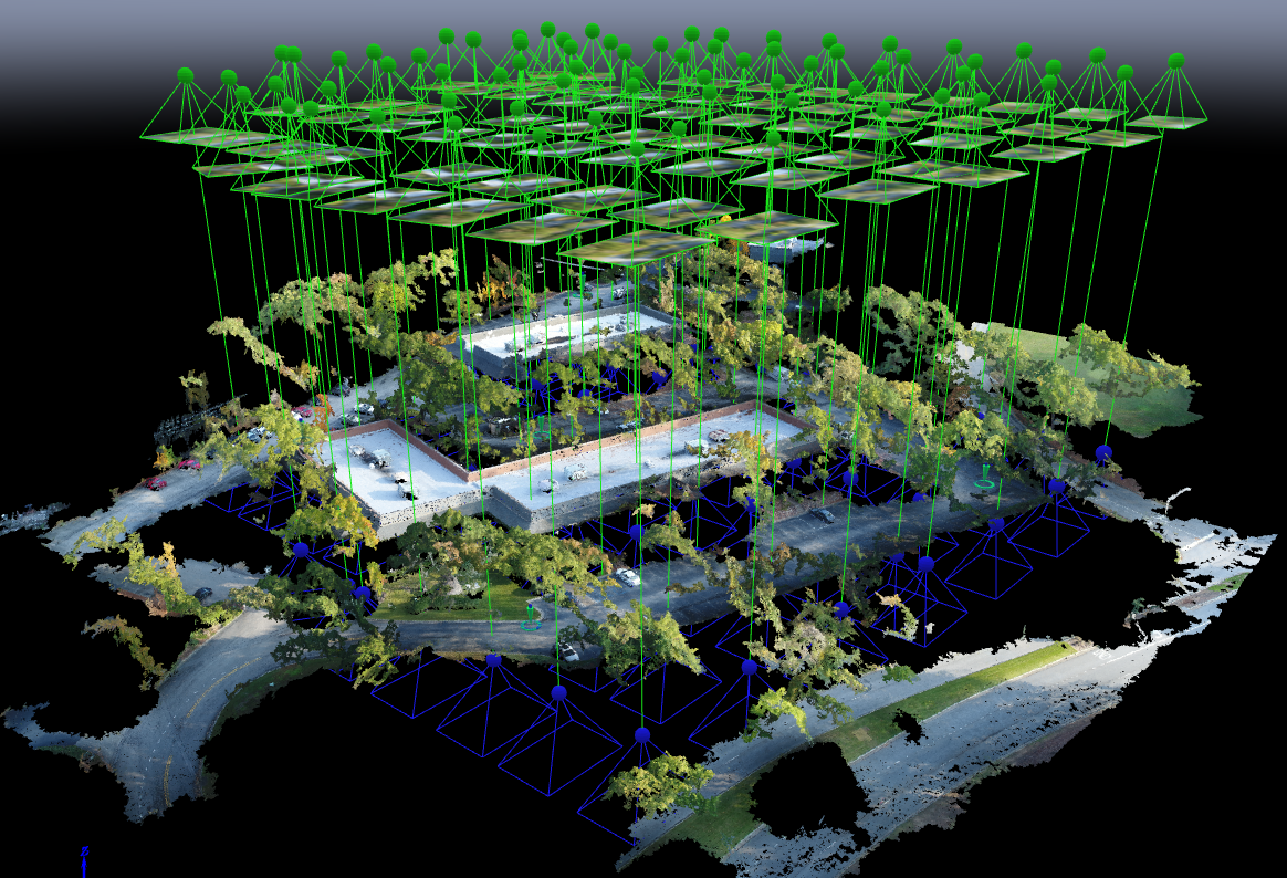
With Aerotas' position as the preeminent provider of drone solutions for land surveyors, we constantly field questions from surveyors about various components of drone technology. This is the third in a three-part series of articles in Point of Beginning magazine, summarizing our current analysis on key components of drone survey technology. This article focuses on the georeferencing options we most commonly get questions about -- particularly high-accuracy RTK, PPK, or Direct Georeferencing systems.
With Aerotas' position as the preeminent provider of drone solutions for land surveyors, we constantly field questions from surveyors about various components of drone technology. This is the second in a 3-part series of articles in Point of Beginning magazine, summarizing our current analysis on key components of drone survey technology. This article focuses on the sensor options we most commonly get questions about -- particularly LiDAR.
Point of Beginning magazine asked Aerotas co-founders Daniel Katz and Logan Campbell to analyze the various components of drone technology that go into an effective drone survey program. They evaluated three key technologies across three articles: drone airframes, sensors, and georeferencing options. In each article they take an independent and analytical approach to evaluate which drone technology option is best for land surveyors. The first article focuses on drone airframes.
In a guest article on Commercial UAV News, Aerotas co-founder Daniel Katz discusses some of the misconceptions Aerotas sees surveyors frequently bring to their drone program decision-making. Many surveyors often that they need to choose a drone billed as "professional grade," but What matters is accuracy and ROI.
The FAA has officially started rolling out the system that allows instantaneous airspace authorizations. LAANC is the FAA’s new system for permitting commercial drone pilots to fly legally in controlled airspace near airports instantaneously, rather than the previous months-long manual process. This program is a huge boon for surveyors and engineers who work near airports, however there are a few things to know about LAANC before going out and flying next to a runway.
In the most recent issue of Point of Beginning magazine, Aerotas co-founders Logan Campbell and Daniel Katz lay out the basic expectations for a surveyor using a drone: what they should be getting, and what it should cost the in money, time, and staff. Ultimately what this translates to is getting the best possible cost/benefit ratio, so that the return on investment for the drone program happens as soon as possible
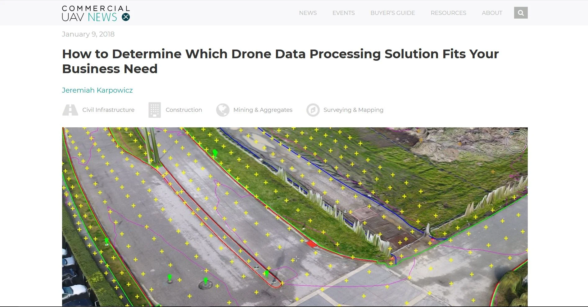
In their report “8 Commercial Drone Predictions for 2018,” Commercial UAV News interviewed Aerotas Co-Founder Daniel Katz. Katz weighed in on key themes that Aerotas has been seeing in the land survey drone space. One theme that came out of this interview is how the land surveyors are now starting to demand that their drone solutions get them all the way to the finish line; to the valuable final survey deliverable they need, not just a pretty picture.
In an interview with Commercial UAV News, Aerotas founder Logan Campbell helps readers determine which of the many options for processing drone data is best for them. There are so many options for turning photos from a drone into some sort of final product that it can be quite confusing for many businesses. One of the most important factors is understanding the trade offs of purchasing the data processing software themselves, versus having an expert provider like Aerotas do the work for them