![[Webinar] The State of Drone Surveying: A Strategic Briefing for 2026](https://images.squarespace-cdn.com/content/v1/54579091e4b05fc750f0d8ea/a6b75fdd-f33d-4130-a4e4-8af16b084092/ChatGPT+Image+Sep+15%2C+2025%2C+11_25_38+AM.png)


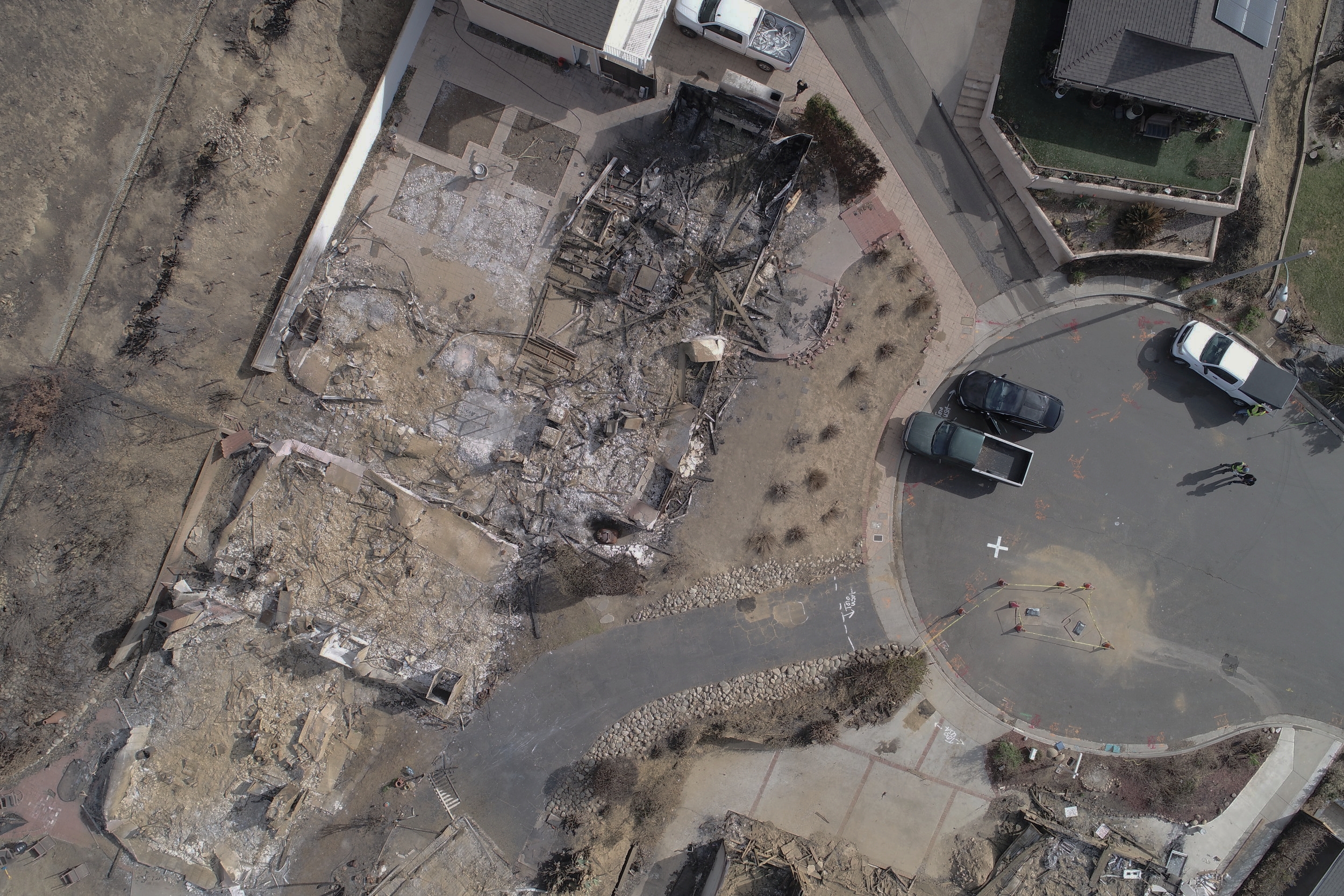
Rebuilding homes after a natural disaster like a wildfire can be tough. And while it’s hardest on the homeowner, it can be a difficult process for those who have to work on the project as well, including land surveyors. Thankfully, drone technology can help make this process smoother. This article details the technical process for how Aerotas client WM Surveys is using their Aerotas Mapping System drone for land surveying after a wildfire.