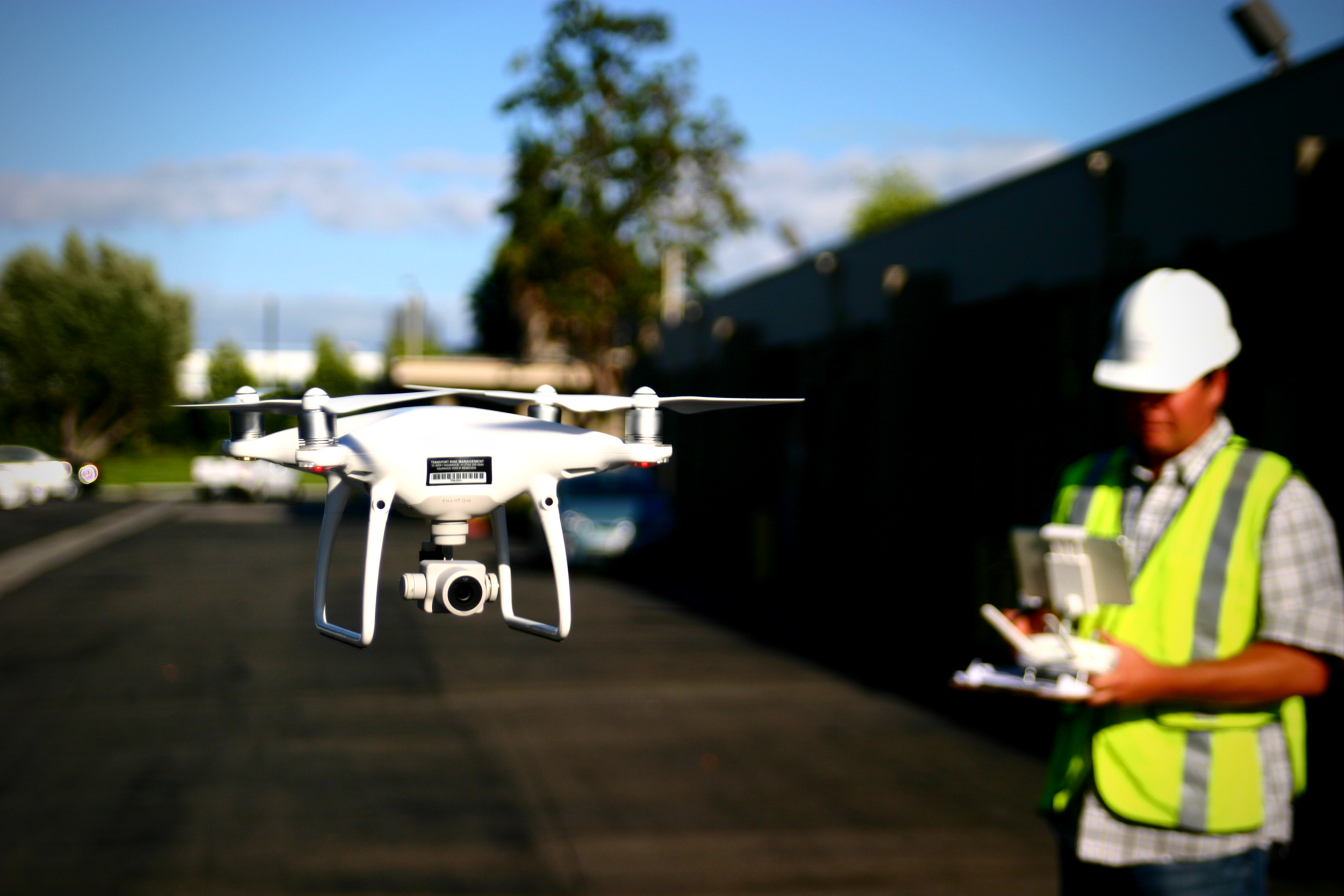
DJI just released a firmware update for the Mavic 2 Pro on Wednesday, April 17, 2019. You should update your firmware as soon as possible because this will fix the geolocation issue that has been doubling data processing times.
Spring Cleaning: Keeping your drone airworthy
In order to maintain reliability in our UAS, we need to inspect and update our equipment on a regular basis. After a long winter, or prolonged bad weather, or even just lack of suitable jobs for the drone, it is important to thoroughly run through all of your system and visual checks before firing up the drone for a client mission.
Aerotas at the CLSA NALS Conference
Aerotas at the Hawaii Geographic Information Conference
DJI platforms will NOT be affected by the GPS Rollover
OSLS Convention 2019 | Aerotas Drone Surveying Presentation
Trey Swann from Aerotas presented at The Oklahoma Society of Land Surveyors (OSLS) Convention on Friday, March 1st, 2019. Trey covered the complete field workflow and the complete office workflow for drone surveying. Use this page to download the content from that presentation.
Presentation Slides - What it Takes to Collect Survey Grade Data by Drone
ASPRS Positional Accuracy Standards for Digital Geospatial Data
Aerotas Flight Operations Checklist
PPK Correction File
Profiting from Drone Surveying - LSAW 2019
Earlier this year, Logan Campbell, founder and CEO of Aerotas, spoke at the Land Surveyors Association of Washington (LSAW) annual conference on how to make a profit when flying drones for land surveying applications.
The video is embedded below, and the materials referenced in the video can be downloaded at the bottom of this page.
From Drone to Linework - UCLS 2019
On February 22, 2019, Aerotas Founder and CEO, Logan Campbell, spoke at the Utah Council of Land Surveyors Summit (UCLS 2019). The presentation is titled “From Drone to Linework”, and covers the workflow requirements to get from flying a drone, to survey-grade linework files. This includes the following topics:
Photogrammetry Processing
Airborne RTK / PPK GNSS Processing
Measuring & Reporting Accuracy
Drafting Linework
Finishing in CAD
Creating a Complete Workflow
The video is embedded below, and the materials referenced in the video can be downloaded at the bottom of this page.
Aerotas Part 107 Training Course - UCLS 2019
Aerotas Flight Operations
When you use Aerotas to process your drone data, you immediately get access to our Flight Ops team. The sole responsibility of Flight Ops is to guide your mission planning and data collection process. This will ensure that you are successfully planning missions, setting UAS-specific ground control, and getting the most accurate results possible from your drone-collected data.

![[Webinar] The State of Drone Surveying: A Strategic Briefing for 2026](https://images.squarespace-cdn.com/content/v1/54579091e4b05fc750f0d8ea/a6b75fdd-f33d-4130-a4e4-8af16b084092/ChatGPT+Image+Sep+15%2C+2025%2C+11_25_38+AM.png)


