![[Webinar] The State of Drone Surveying: A Strategic Briefing for 2026](https://images.squarespace-cdn.com/content/v1/54579091e4b05fc750f0d8ea/a6b75fdd-f33d-4130-a4e4-8af16b084092/ChatGPT+Image+Sep+15%2C+2025%2C+11_25_38+AM.png)


DJI’s long-anticipated L1 sensor is finally here, and we’ve been doing dozens of test flights and spending hundreds of hours flying and analyzing data to create a real-world, field-tested review of the newest DJI L1 sensor.

In one hour, we’ll show you exactly what changed in 2025 that will impact your revenue, liability, and competitiveness in 2026, and what top firms are already doing about it.
On November 4th, 2025, DJI announced the latest upgrade in their aerial lidar sensors, the Zenmuse L3. But will it be a good sensor for surveyors? And should US surveyors even consider investing in a DJI product given all of the regulatory uncertainties in the world right now? Let’s dive into the details to find out.
Here is the uncomfortable truth: no true peer competitor exists today. Dollar for dollar, DJI remains the best overall platform for most commercial applications. There is no close second. This post explains why, how to think about the current regulatory environment, and what that means for surveyors, civil engineers, or really anyone who cares about safety, turnaround time, and profit.
There are numerous ways to process GNSS data from the DJI M300 RTK and the Phantom 4 RTK. This article will discuss the five most common methods for processing data from DJI RTK drones and weigh their strengths and weaknesses.
Read the article to get answers to these common questions:
Can I use my Trimble, Leica, or Topcon base with the Phantom 4 RTK?
Is it possible to use my NTRIP correction service without a base station?
Will the DJI D-RTK 2 work as a standalone base or rover?
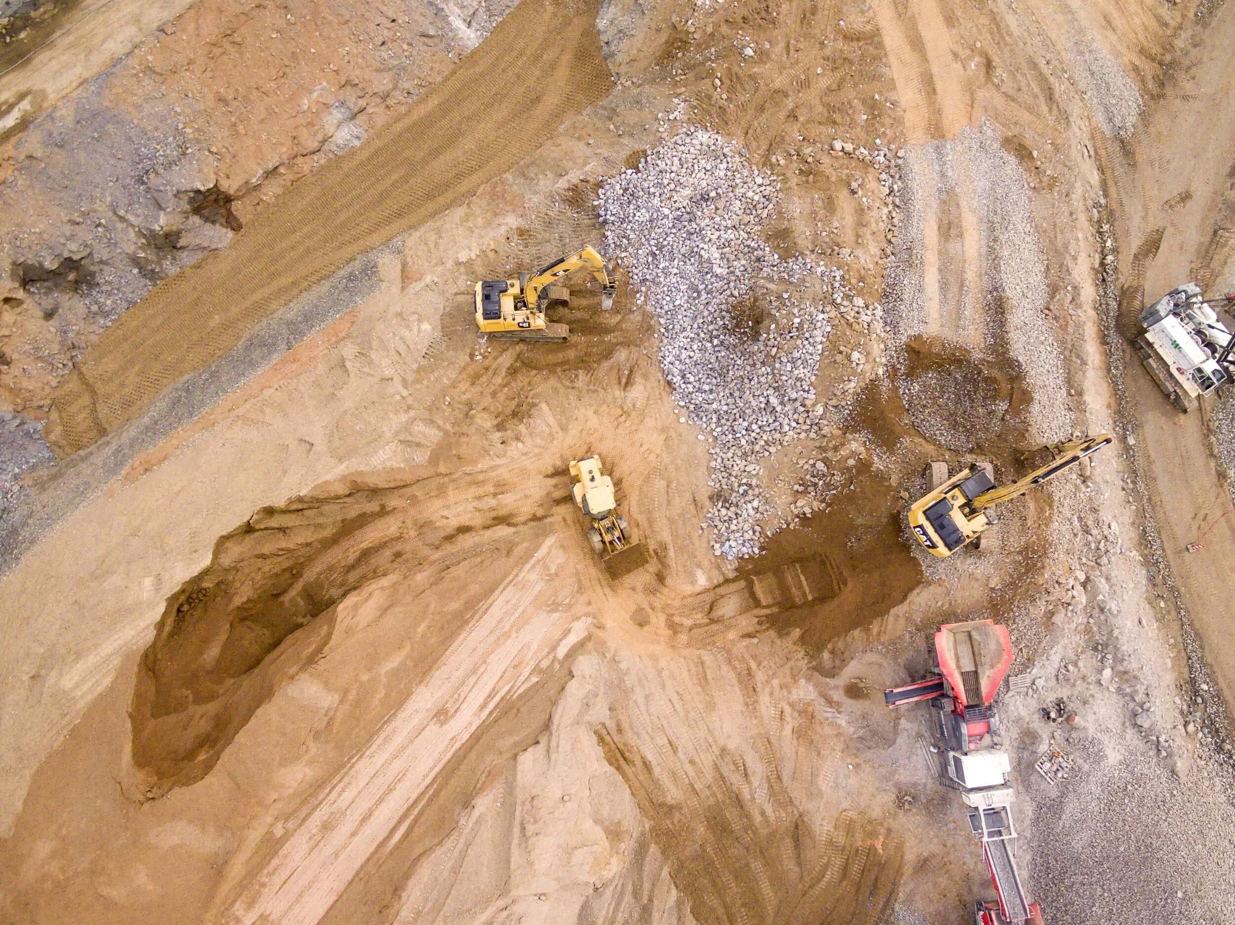
At Aerotas our primary focus is processing the drone data that surveyors collect in the field. But, we also pride ourselves on being a trusted advisor that helps surveyors create successful drone programs for their businesses. One of the most common questions we get is, what is the best drone for surveying? Well, the answer depends on your business. Companies with different types of jobs and different budgets will have different drones that work best with them. Below are some of our recommendations.