Aerotas has designed all new online training courses to get you over the FAA Part 107 hurdle, impart useful operational safety guidelines, and ensure that you are collecting reliably accurate data using your drone.

Here is the uncomfortable truth: no true peer competitor exists today. Dollar for dollar, DJI remains the best overall platform for most commercial applications. There is no close second. This post explains why, how to think about the current regulatory environment, and what that means for surveyors, civil engineers, or really anyone who cares about safety, turnaround time, and profit.
Lidar technology for Land Surveying has been around for decades, but technological advancements have now made lidar more accurate, reliable, and affordable than ever before. At Aerotas, we've been processing aerial lidar data for years. In this article, we go through all of the different capabilities and processes necessary to get high quality survey deliverables from your lidar data.
The newest version of our checklist is smaller, laminated, and designed to always stay with your drone kit. The checklist will be used along side a paper companion flight log that is now longer so that it can record information about more of your flights. The old checklist was a single piece of paper that combined both the checklist and the flight log; you used a single checklist for each flight. Now, one checklist can be used across multiple flights, and the flight log can hold more information.
In order to maintain reliability in our UAS, we need to inspect and update our equipment on a regular basis. After a long winter, or prolonged bad weather, or even just lack of suitable jobs for the drone, it is important to thoroughly run through all of your system and visual checks before firing up the drone for a client mission.
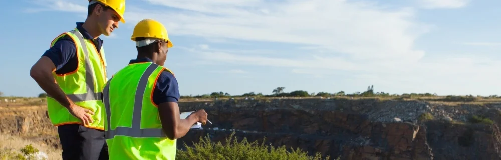
Trey Swann from Aerotas presented at The Oklahoma Society of Land Surveyors (OSLS) Convention on Friday, March 1st, 2019. Trey covered the complete field workflow and the complete office workflow for drone surveying. Use this page to download the content from that presentation.
Presentation Slides - What it Takes to Collect Survey Grade Data by Drone
ASPRS Positional Accuracy Standards for Digital Geospatial Data
Aerotas Flight Operations Checklist
PPK Correction File
Earlier this year, Logan Campbell, founder and CEO of Aerotas, spoke at the Land Surveyors Association of Washington (LSAW) annual conference on how to make a profit when flying drones for land surveying applications.
The video is embedded below, and the materials referenced in the video can be downloaded at the bottom of this page.
On February 22, 2019, Aerotas Founder and CEO, Logan Campbell, spoke at the Utah Council of Land Surveyors Summit (UCLS 2019). The presentation is titled “From Drone to Linework”, and covers the workflow requirements to get from flying a drone, to survey-grade linework files. This includes the following topics:
Photogrammetry Processing
Airborne RTK / PPK GNSS Processing
Measuring & Reporting Accuracy
Drafting Linework
Finishing in CAD
Creating a Complete Workflow
The video is embedded below, and the materials referenced in the video can be downloaded at the bottom of this page.