


On February 21, 2019, Aerotas CEO Logan Campbell presented a full-day workshop on how to prepare for the FAA Part 107 Unmanned Aircraft General exam. Below are the videos of the complete workshop. You can download the referenced materials at the bottom of this page.
Aerotas Flight Operations
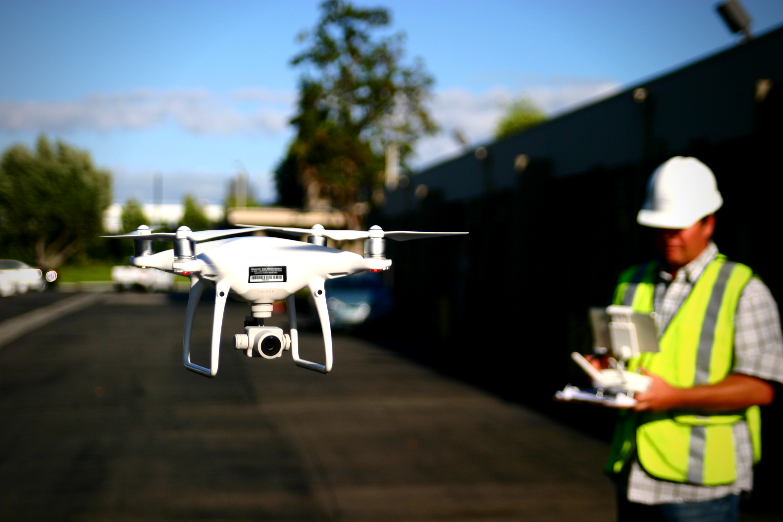
When you use Aerotas to process your drone data, you immediately get access to our Flight Ops team. The sole responsibility of Flight Ops is to guide your mission planning and data collection process. This will ensure that you are successfully planning missions, setting UAS-specific ground control, and getting the most accurate results possible from your drone-collected data.
POB Guest Column: Hard-Learned Lessons in Drone Photogrammetry

We have processed thousands of drone survey projects for our customers, and we have learned the hard way why photogrammetry is a Ph.D. level science. We have banged our heads against every wall there is, and learned some valuable lessons that we now apply to every project we complete for our customers.
Achieving Accuracy and Efficiency in Drone Photogrammetry - ASPRS Workshop with Aerotas and Pix4D

PPK Processing data from the Phantom 4 RTK
Guest Webinar for Indiana Society of Professional Land Surveyors

The DJI Phantom 4 RTK for Land Surveyors

Airborne RTK for land surveyors has been a technology with an enormous amount of promise for quite a few years now, but was being held back by extremely expensive, complicated, and unreliable technology. However, with the recent announcement of the DJI Phantom 4 RTK, it seems as if this is about to change. Overall, the Phantom 4 RTK is a great piece of technology that will improve both accuracy and efficiency for most surveyors, but it is not a magic bullet. Good operations are required both in the field and in post-processing the data.
Guest Post: What Do FAA Part 107 Numbers Tell Us About How Drones Are Being Used by Surveyors?

POB Column: It Matters Who Processes Your Drone Data
When the American Society of Photogrammetry and Remote Sensing (ASPRS) launched their Certified Mapping Scientist-UAS certification, Aerotas Founder Logan Campbell was among the first people to sit for the test. The intensive experience of studying, preparing, and taking the strenuous exam highlighted how challenging a verifiable understanding of photogrammetry is. However, the real-world experiences that Logan and the Aerotas team have with processing drone data for surveyors reveal the importance of this understanding in the real world.
POB Column: Selecting a UAV Georeferencing Option
With Aerotas' position as the preeminent provider of drone solutions for land surveyors, we constantly field questions from surveyors about various components of drone technology. This is the third in a three-part series of articles in Point of Beginning magazine, summarizing our current analysis on key components of drone survey technology. This article focuses on the georeferencing options we most commonly get questions about -- particularly high-accuracy RTK, PPK, or Direct Georeferencing systems.