


Anyone that has worked in large public areas before knows that there is always a risk of theft, vandalism, or loss of equipment. It is simply an unfortunate part of the job, as it often costs more to protect the equipment than to simply replace it. This was the situation I was in at the end of a drone survey earlier this week, and it put me in a pretty awful mood. After our flights were completed, I walked the site to pick up our ground equipment only to discover that one of our $600 GPS-enabled aerial targets had vanished without a trace.
POB Column: The Drone is the Easy Part

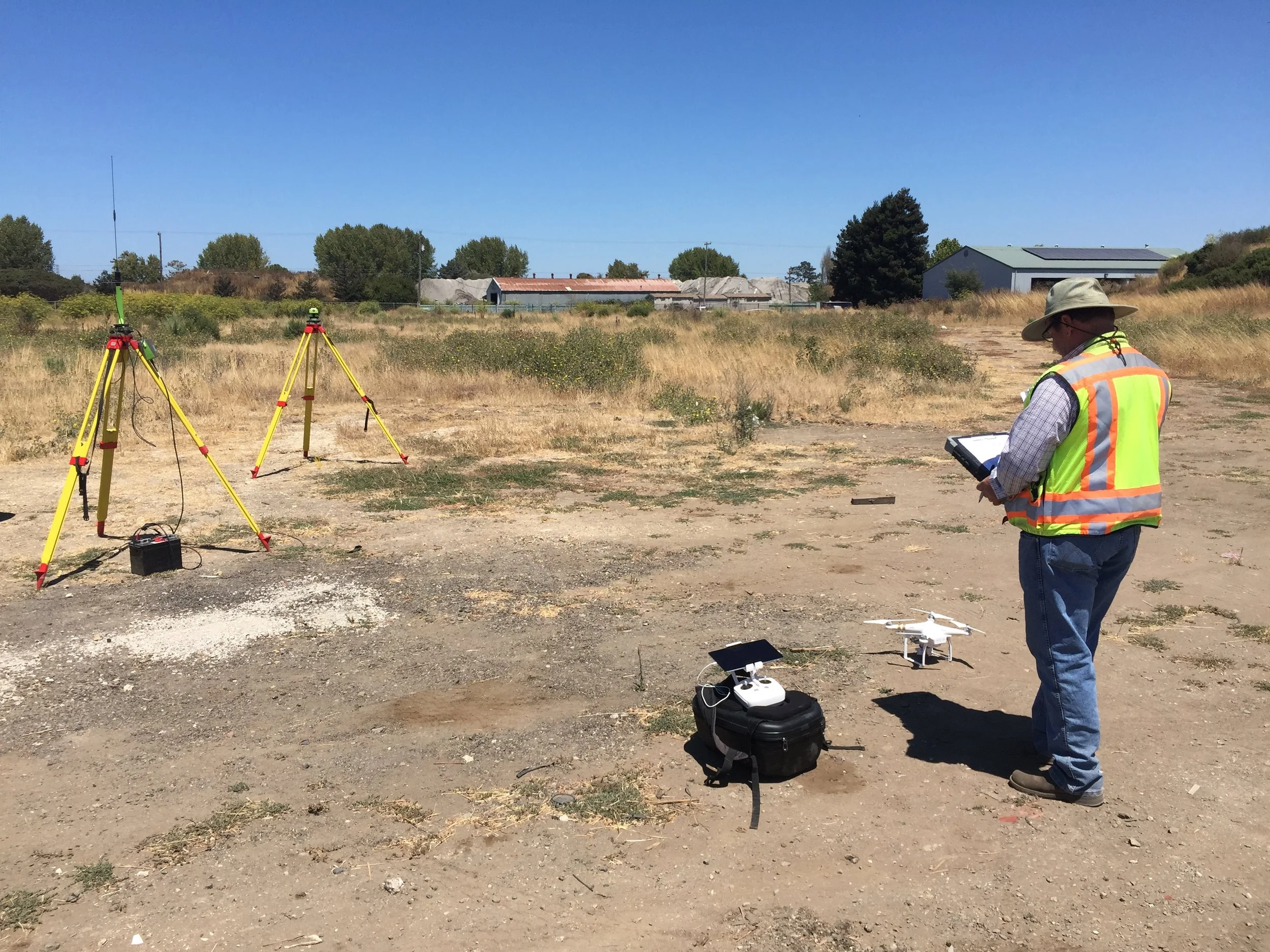
For Drone Surveying, Trust a Professional

POB Column: Define Your UAS Operations

Many surveyors purchase a drone and start using it without ever considering the importance of having clearly-defined operations -- goals, procedures that ensure those goals are accomplished with a minimum of risk or loss, and training to ensure staff are competent at following those procedures. In our most recent article in Point of Beginning, we cover the 3 operations areas that need to be optimized for a drone surveying program to be as successful as possible.
4 Steps to Becoming a Professional Drone Pilot

POB Column: From Drone to Drawing: the Full Workflow

In the conversations we have had with hundreds of land surveyors, civil engineers, and other mapping professionals about starting a drone program, we often see themes arise. One of the most problematic of these is the tendency of businesses to go about the process of setting up a drone program completely backwards. In our most recent column for Point of Beginning, we discuss how to design a drone program with a focus instead on workflow.
Commercial UAV News: Drones for Aggregates in 2017

In their recent free report "How are Mining & Aggregates Professionals Using Drones in 2017?" Aerotas co-founders Logan Campbell and Daniel Katz lend their perspective from having helped mining operations and the land surveyors that service them to successfully incoporate the benefits of drone operations.
POB Column: Can a Drone Make You More Profit?
With dozens of land surveyors, civil engineers, and other mapping professionals using our drone mapping system on a daily basis, we have a great opportunity to learn about all the ways that a drone actually enables bottom-line benefit. In a guest column with Point of Beginning in April, we break down the four primary ways we hear back from our clients that a drone is improving their operations and making them more profitable: efficiency, protection, savings, and communication.
POB Guest Column: To Succeed With Drones, Keep it Simple
If we seem to be repeating ourselves, it's because this is one of the most important things we have learned: the companies that succeed with drone surveying are the ones that start simply. In our February 2017 guest column in Point of Beginning Magazine, we detail what this approach involves and the benefits it offers.
Guest Article in California Surveyor: FAA Drone Laws for Surveyors

On the heels of the implementation of the FAA's new commercial drone laws, called Part 107, the team at California Surveyor Magazine once again asked Aerotas to weigh in on what surveyors need to know.