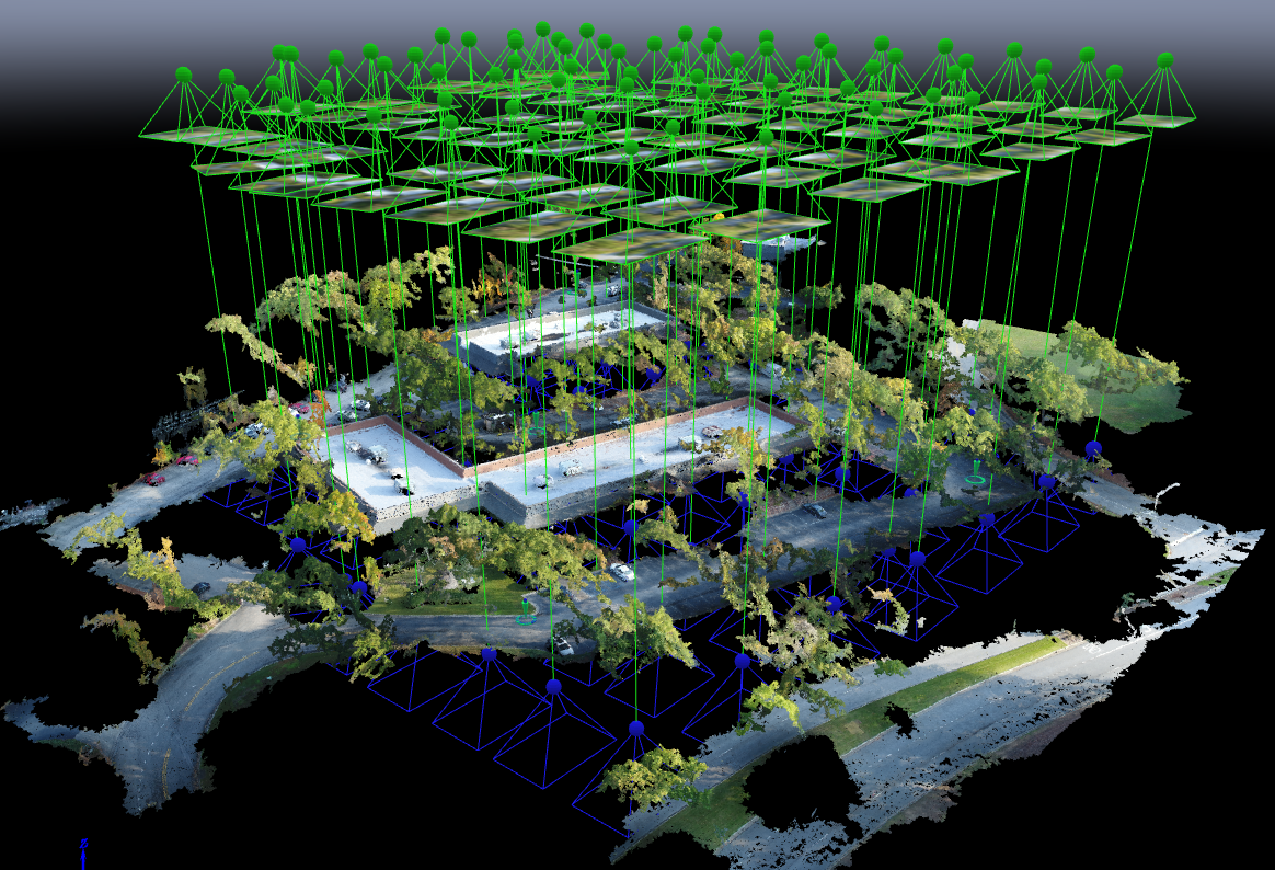
With Aerotas' position as the preeminent provider of drone solutions for land surveyors, we constantly field questions from surveyors about various components of drone technology. This is the third in a three-part series of articles in Point of Beginning magazine, summarizing our current analysis on key components of drone survey technology. This article focuses on the georeferencing options we most commonly get questions about -- particularly high-accuracy RTK, PPK, or Direct Georeferencing systems.
POB Column: Drone Sensors for Surveyors
With Aerotas' position as the preeminent provider of drone solutions for land surveyors, we constantly field questions from surveyors about various components of drone technology. This is the second in a 3-part series of articles in Point of Beginning magazine, summarizing our current analysis on key components of drone survey technology. This article focuses on the sensor options we most commonly get questions about -- particularly LiDAR.
POB Column: Drone Airframes for Surveyors
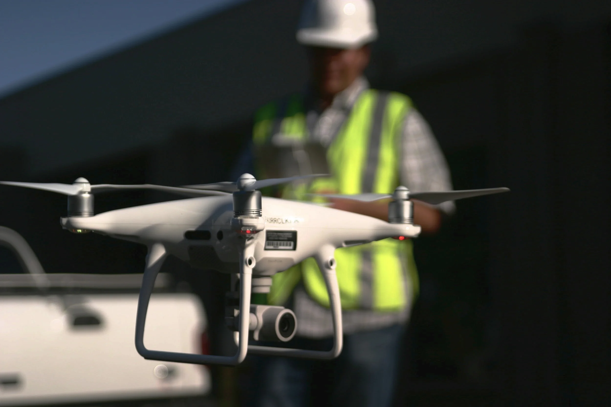
Point of Beginning magazine asked Aerotas co-founders Daniel Katz and Logan Campbell to analyze the various components of drone technology that go into an effective drone survey program. They evaluated three key technologies across three articles: drone airframes, sensors, and georeferencing options. In each article they take an independent and analytical approach to evaluate which drone technology option is best for land surveyors. The first article focuses on drone airframes.
Commercial UAV News: Surveyors and Other Professional Drone Operators Should be Focused on Accuracy and Reliability
In a guest article on Commercial UAV News, Aerotas co-founder Daniel Katz discusses some of the misconceptions Aerotas sees surveyors frequently bring to their drone program decision-making. Many surveyors often that they need to choose a drone billed as "professional grade," but What matters is accuracy and ROI.
Drone Surveyors Can Now Fly Near Airports
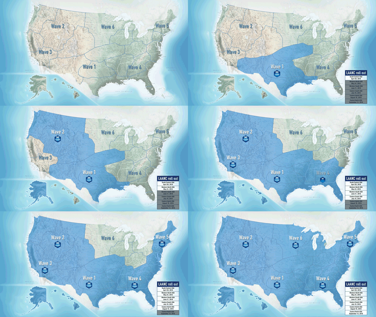
The FAA has officially started rolling out the system that allows instantaneous airspace authorizations. LAANC is the FAA’s new system for permitting commercial drone pilots to fly legally in controlled airspace near airports instantaneously, rather than the previous months-long manual process. This program is a huge boon for surveyors and engineers who work near airports, however there are a few things to know about LAANC before going out and flying next to a runway.
POB Column: Drones Help Survey After Thomas Wildfires
POB Column: Does Your UAV Survey Program Measure Up?
In the most recent issue of Point of Beginning magazine, Aerotas co-founders Logan Campbell and Daniel Katz lay out the basic expectations for a surveyor using a drone: what they should be getting, and what it should cost the in money, time, and staff. Ultimately what this translates to is getting the best possible cost/benefit ratio, so that the return on investment for the drone program happens as soon as possible
Who owns the air above your home?
Who controls the airspace above your home? This question is beginning to generate a lot of attention lately. Under the current law, there is no clearly defined line to understand the answer. The courts have been kicking this concept around for decades and until recently have had relatively little need for clarity. Considering the increasing use of drones from both commercial and recreational users flying in this space, there is growing pressure to resolve this lack of clarity. The “grey area” has yet to be defined.
How a drone survey accidentally saved us $600
Anyone that has worked in large public areas before knows that there is always a risk of theft, vandalism, or loss of equipment. It is simply an unfortunate part of the job, as it often costs more to protect the equipment than to simply replace it. This was the situation I was in at the end of a drone survey earlier this week, and it put me in a pretty awful mood. After our flights were completed, I walked the site to pick up our ground equipment only to discover that one of our $600 GPS-enabled aerial targets had vanished without a trace.

![[Webinar] The State of Drone Surveying: A Strategic Briefing for 2026](https://images.squarespace-cdn.com/content/v1/54579091e4b05fc750f0d8ea/a6b75fdd-f33d-4130-a4e4-8af16b084092/ChatGPT+Image+Sep+15%2C+2025%2C+11_25_38+AM.png)


