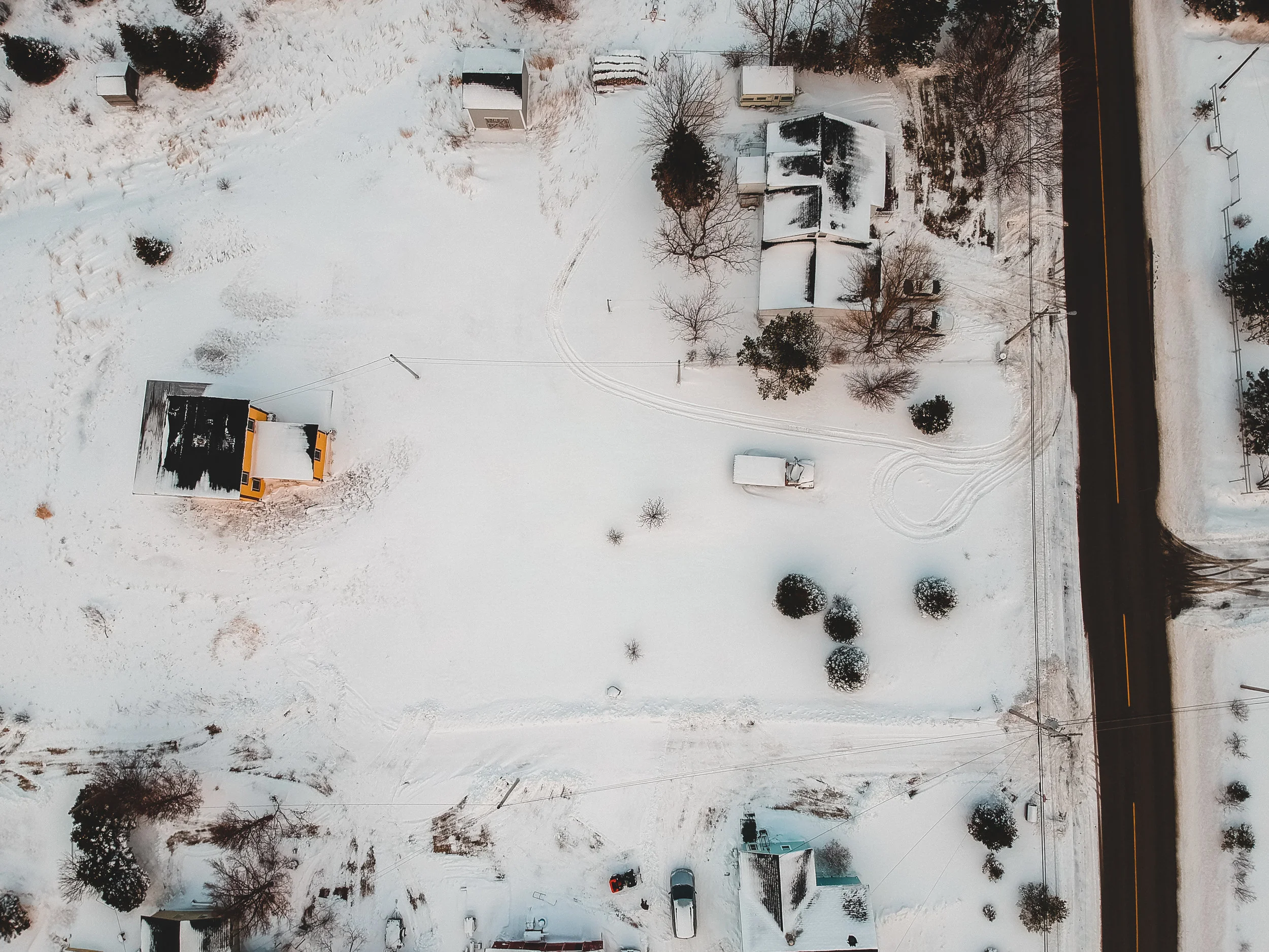
Flying in wintry conditions generally has little impact on the quality of the data, but there are a few things worth noting. Cold weather shortens flight time, and snow on the ground prevents planimetric feature marking.

Lidar technology for Land Surveying has been around for decades, but technological advancements have now made lidar more accurate, reliable, and affordable than ever before. At Aerotas, we've been processing aerial lidar data for years. In this article, we go through all of the different capabilities and processes necessary to get high quality survey deliverables from your lidar data.
Terrain awareness, or terrain-following as some like to call it, eliminates the variance in above-ground flight height and thus eliminates the discrepancies in overlap throughout sites with high topographic relief. Consistent overlap leads to more reliable data overall, and Terrain Awareness guarantees more consistent overlap.