Products
Why Aerotas
Resources
Training
Blog
Buy GCPs
Sign In
REQUEST A QUOTE

Aerotas: Drone Data Processing for Surveyors

Products
Why Aerotas
Resources
Training
Blog
Buy GCPs
Sign In
REQUEST A QUOTE
June 6, 2025
Hope Narish
[Webinar] Mastering Aerial Lidar in Land ...
May 7, 2025
Hope Narish
[Webinar] Mastering Aerial Lidar in Land ...
March 24, 2025
Logan Campbell
How to Get the Most Out of Aerial Lidar Data

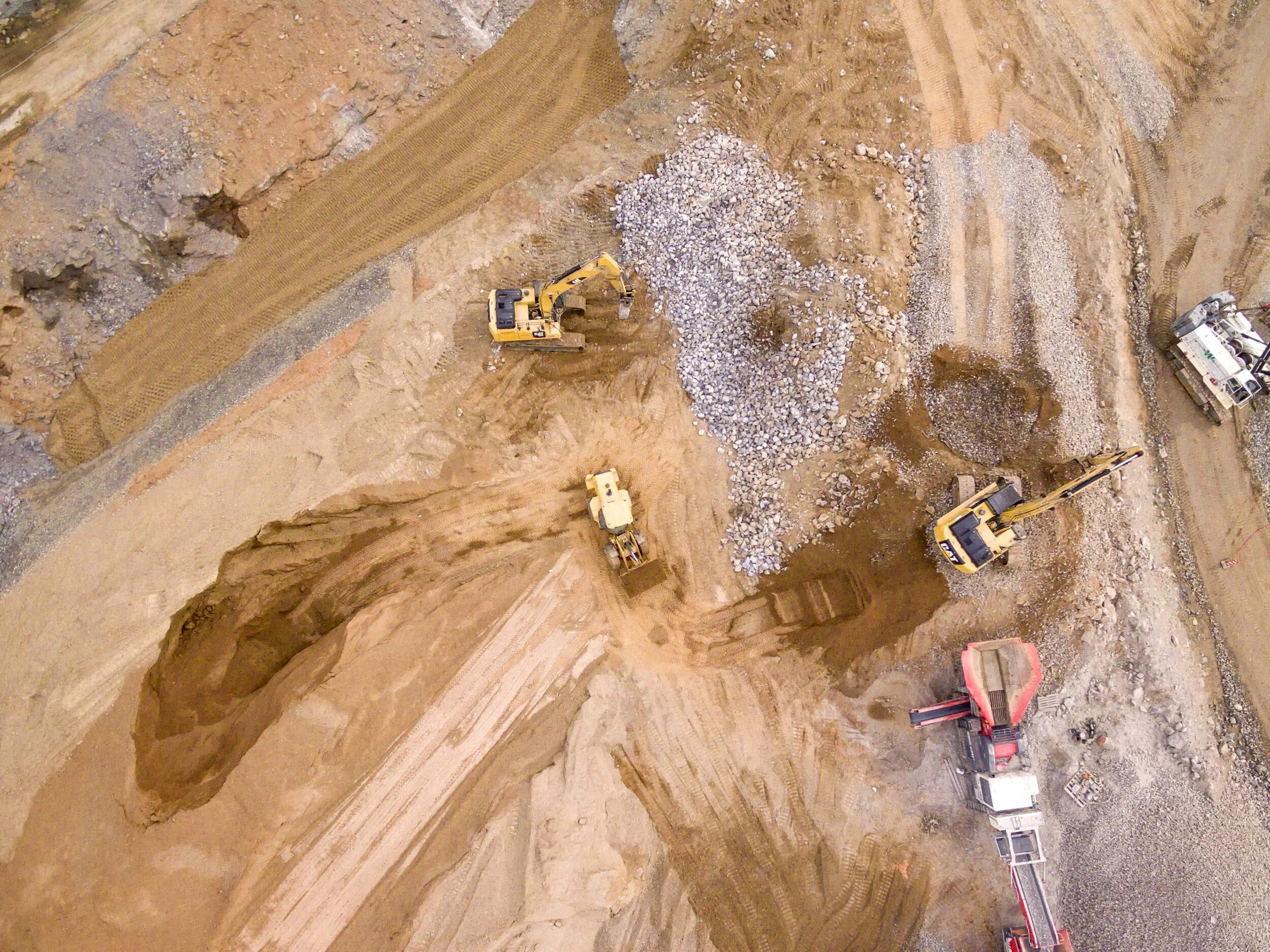
Lidar technology for Land Surveying has been around for decades, but technological advancements have now made lidar more accurate, reliable, and affordable than ever before. At Aerotas, we've been processing aerial lidar data for years. In this article, we go through all of the different capabilities and processes necessary to get high quality survey deliverables from your lidar data.

How to Get the Most Out of Aerial Lidar Data
October 24, 2023
Eric Seger
DJI Announces the Zenmuse L2

On 10/10, DJI announced the Zenmuse L2. We believe the new L2 will offer exceptional technical improvements over both the L1 and the current mid-tier sensor market. We’re excited to share what we know about the delivery timeline, and how we view the technical specs.

DJI Announces the Zenmuse L2
July 8, 2021
Drone Hardware, Drone Data Processing
Guest User
DJI Zenmuse L1 Lidar Review

DJI’s long-anticipated L1 sensor is finally here, and we’ve been doing dozens of test flights and spending hundreds of hours flying and analyzing data to create a real-world, field-tested review of the newest DJI L1 sensor.

DJI Zenmuse L1 Lidar Review
Guest User
May 18, 2020
Drone Data Processing, Drone Surveying

What is Survey Grade Accuracy?

Guest User
May 18, 2020
Drone Data Processing, Drone Surveying
What is Survey Grade Accuracy?

In this article, we will go into detail about what truly makes a project survey grade.

Guest User
May 5, 2020
Drone Operations, Drone Surveying, Drone Hardware

Spring Cleaning Checklist: Keep your drone airworthy

Guest User
May 5, 2020
Drone Operations, Drone Surveying, Drone Hardware
Spring Cleaning Checklist: Keep your drone airworthy

In order to maintain the reliability of our drone, we need to inspect and update our equipment on a regular basis. It is important to thoroughly run through all of your systems and visual checks before firing up the drone.

Guest User
April 28, 2020
Drone Hardware, Drone Surveying

Is the Mavic Air 2 a good drone for Land Surveying?

Guest User
April 28, 2020
Drone Hardware, Drone Surveying
Is the Mavic Air 2 a good drone for Land Surveying?

Is the Mavic Air 2 a good drone for Land Surveying?

Guest User
April 23, 2020
Drone Surveying

Guide to Better Image Quality

Guest User
April 23, 2020
Drone Surveying
Guide to Better Image Quality

Improve the image quality of your drone surveys, and get better accuracy.

Guest User
April 14, 2020
Drone Surveying

Helping TD&H Engineering Survey More Land With Fewer People

Guest User
April 14, 2020
Drone Surveying
Helping TD&H Engineering Survey More Land With Fewer People

How Aerotas Helped TD&H Engineering Survey More Land With Fewer People

Guest User
April 7, 2020
Drone Surveying

ISPLS Webinar - Creating Surveys with Drone Data

Guest User
April 7, 2020
Drone Surveying
ISPLS Webinar - Creating Surveys with Drone Data

ISPLS hosted a webinar on Fri, Apr 3, 2020, where Aerotas CEO, Logan Campbell, presented advanced data processing workflows for creating surveys with drone data. Enclosed please find links to download the checklists, guides, and standards referenced in his presentation.

Guest User
March 26, 2020
Drone Hardware

Phantom 4 RTK: Enterprise Shield Renewal

Guest User
March 26, 2020
Drone Hardware
Phantom 4 RTK: Enterprise Shield Renewal

Phantom 4 RTK: Enterprise Shield Renewal

Guest User
March 16, 2020

Aerotas is Fully Operational and Open for Business

Guest User
March 16, 2020
Aerotas is Fully Operational and Open for Business

Aerotas is open for business as usual for any of your drone data processing needs.

Guest User
February 25, 2020

UCLS Conference 2020

Guest User
February 25, 2020
UCLS Conference 2020

Logan Campbell, CEO of Aerotas, spoke at the UCLS annual conference in St. George, Utah at the Dixie Convention Center. This is the video of his presentation along with the slides he used.

Tagged: Survey Conference

Guest User
January 6, 2020
Drone Operations

How to Safely Fly your Drone in the Winter

Guest User
January 6, 2020
Drone Operations
How to Safely Fly your Drone in the Winter

Flying in wintry conditions generally has little impact on the quality of the data, but there are a few things worth noting. Cold weather shortens flight time, and snow on the ground prevents planimetric feature marking.

Newer Posts
Older Posts
Back to Top
Pricing
Resources
Newsletter
Contact Us
AEROTAS | 9450 SW Gemini Drive PMB 58574, Beaverton, OR, 97008 |(949) 335-4323| info@aerotas.com
Aerotas Logo White - 150.png