
Commercial UAV News: Surveyors and Other Professional Drone Operators Should be Focused on Accuracy and Reliability
In a guest article on Commercial UAV News, Aerotas co-founder Daniel Katz discusses some of the misconceptions Aerotas sees surveyors frequently bring to their drone program decision-making.
Many surveyors, as well as other professionals, often think that they need to choose a drone that is billed as "professional grade," but ultimately that is just marketing talk. What matters for land surveyors is accuracy and ROI. What "kind" of drone is unimportant provided it gets them the survey and business outcomes they need.
This is a topic that Daniel Katz frequently discusses when he teaches seminars to land surveyors at conferences and meetings around the United States.
Read an excerpt from the article below, or read the full article at the Commercial UAV News website to see our analysis of other sensor options. If you're ready to start getting industry-best accuracy and industry-best ROI, visit aerotas.com/drone-survey.
Surveyors and Other Professional Drone Operators Should be Focused on Accuracy and Reliability
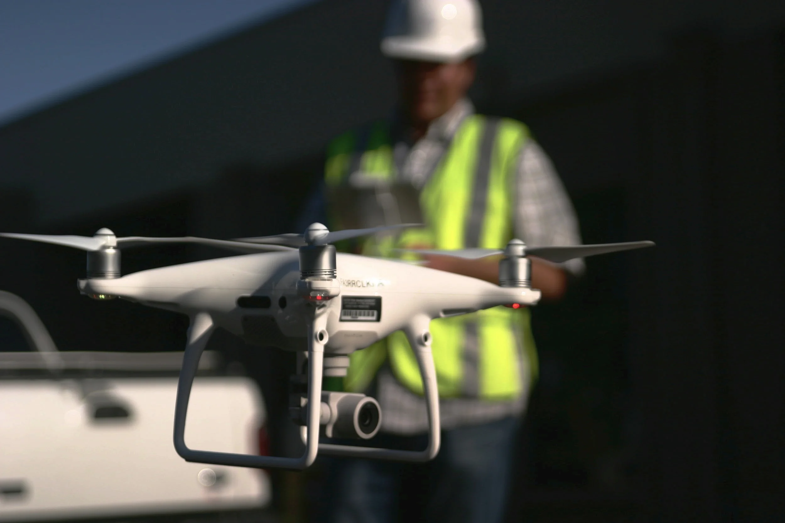
This is the kind of ROI-focused decision-making we’ve helped hundreds of surveyor work through in order to use drones to grow their business without hiring, which is for the most part possible on account of providing land surveyors with everything they need to use drones to finish surveys 90% faster. Aerotas does not have any formal affiliation with any particular drone company, which gives us the freedom to test and evaluate everything in order to provide our customers with the best tools. In our testing, we have found that there are minimum technical standards that are required to produce the accuracy land surveyors need: a 20-megapixel camera with a global shutter (as opposed to a linear rolling shutter) on a 3-axis gimbal on a multi-rotor. The DJI Phantom 4 Pro and Advanced models meet these specifications. With the right sensor, so do the more expensive models, but those more expensive models do not produce better accuracy results on surveys.
There’s definitely some skepticism when we talk about these concepts and numbers, especially when we’re able to do so because we’re using what some people dismiss as “toys”. The problem with this mentality is that it doesn’t recognize the psychological bias we are all subject to which leads us to associate quality with price. We think that just because something is less expensive, it must be lower quality, and the more expensive option must be the higher quality one. This bias is called the Veblen Effect, and it’s something that is not limited to the drone industry.
We often see this play out with land surveyors and engineers when they first approach us, who think that because they’re professionals, they need a drone that is marketed as “professional grade.” It’s why we coach land surveyors and engineers to instead focus on what variables are most important to them, in order to avoid this trap.
The most important variable for drone-users in these professions is the ground-truthed accuracy of the data produced. Second to this is reliability, and finally all-in price. This is the analytical approach we took to determine which drone is the best tool for surveyors, and it led us to the DJI Phantom 4 Professional. Whether you want to call it a “toy” or anything else doesn’t really matter to us, because it produces the best results.