Commercial UAV News: Surveyors and Other Professional Drone Operators Should be Focused on Accuracy and Reliability

Commercial UAV News: Surveyors and Other Professional Drone Operators Should be Focused on Accuracy and Reliability

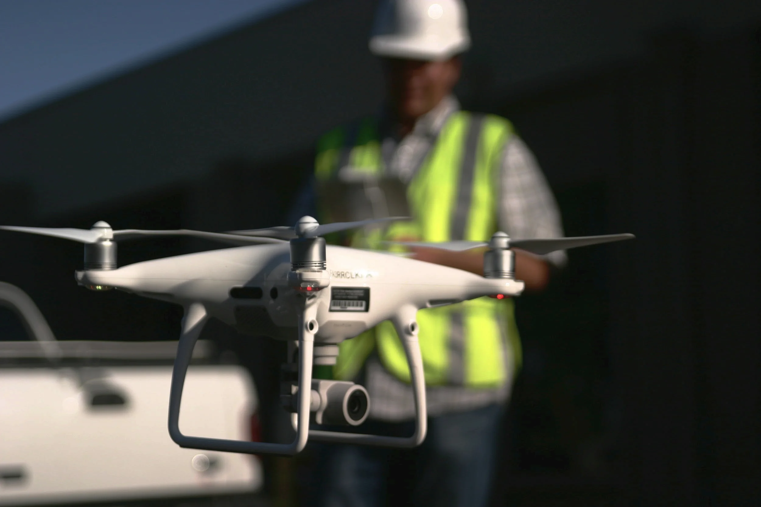
In a guest article on Commercial UAV News, Aerotas co-founder Daniel Katz discusses some of the misconceptions Aerotas sees surveyors frequently bring to their drone program decision-making. Many surveyors often that they need to choose a drone billed as "professional grade," but What matters is accuracy and ROI.

Drone Surveyors Can Now Fly Near Airports

Drone Surveyors Can Now Fly Near Airports

The FAA has officially started rolling out the system that allows instantaneous airspace authorizations. LAANC is the FAA’s new system for permitting commercial drone pilots to fly legally in controlled airspace near airports instantaneously, rather than the previous months-long manual process. This program is a huge boon for surveyors and engineers who work near airports, however there are a few things to know about LAANC before going out and flying next to a runway.

POB Column: Does Your UAV Survey Program Measure Up?

POB Column: Does Your UAV Survey Program Measure Up?

In the most recent issue of Point of Beginning magazine, Aerotas co-founders Logan Campbell and Daniel Katz lay out the basic expectations for a surveyor using a drone: what they should be getting, and what it should cost the in money, time, and staff. Ultimately what this translates to is getting the best possible cost/benefit ratio, so that the return on investment for the drone program happens as soon as possible

Commercial UAV News: Surveyors Demand Final Linework From Their Drones

Commercial UAV News: Surveyors Demand Final Linework From Their Drones

In their report “8 Commercial Drone Predictions for 2018,” Commercial UAV News interviewed Aerotas Co-Founder Daniel Katz. Katz weighed in on key themes that Aerotas has been seeing in the land survey drone space. One theme that came out of this interview is how the land surveyors are now starting to demand that their drone solutions get them all the way to the finish line; to the valuable final survey deliverable they need, not just a pretty picture.

How to use drones to help rebuild after a fire

How to use drones to help rebuild after a fire

Rebuilding homes after a natural disaster like a wildfire can be tough. And while it’s hardest on the homeowner, it can be a difficult process for those who have to work on the project as well, including land surveyors. Thankfully, drone technology can help make this process smoother. This article details the technical process for how Aerotas client WM Surveys is using their Aerotas Mapping System drone for land surveying after a wildfire.

How drones are helping rebuild after the California wildfires

How drones are helping rebuild after the California wildfires

The recent California wildfires destroyed thousands of homes, leaving many people struggling to get back on their feet. Rebuilding after such devastation can take years, adding heartache and financial strain on already troubled families. Thankfully, drone technology is making this process smoother. A good drone program can make much of the rebuilding process easier on homeowners, land surveyors, and many other parties involved in getting life back to normal. WM Surveys in Ventura, working with the Aerotas Mapping System, is helping to do exactly that.

Which Drone Processing Solution Fits Your Business?

Which Drone Processing Solution Fits Your Business?

In an interview with Commercial UAV News, Aerotas founder Logan Campbell helps readers determine which of the many options for processing drone data is best for them. There are so many options for turning photos from a drone into some sort of final product that it can be quite confusing for many businesses. One of the most important factors is understanding the trade offs of purchasing the data processing software themselves, versus having an expert provider like Aerotas do the work for them

Drone Surveying Webinar for NYSAPLS

Drone Surveying Webinar for NYSAPLS

On December 1, 2017, Aerotas co-founder Daniel Katz presented a webinar for the New York State Association of Professional Land Surveyors. In the webinar, Daniel covers key lessons Aerotas has learned from training over 200 land surveyors on high-accuracy and profitable drone mapping.

POB Column: Grow Your Surveying Business Without Hiring

POB Column: Grow Your Surveying Business Without Hiring

In the December issue of Point of Beginning, Aerotas co-founders Logan Campbell and Daniel Katz explore a key issue faced by the land survey community: how to keep up with rapidly growing demand despite a shrinking workforce.